Rosecliff, Newport, Rhode Island

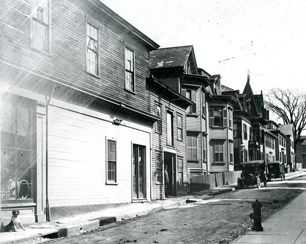
The Rosecliff mansion on Bellevue Avenue in Newport, around 1910-1915. Image courtesy of the Library of Congress, George Grantham Bain Collection.
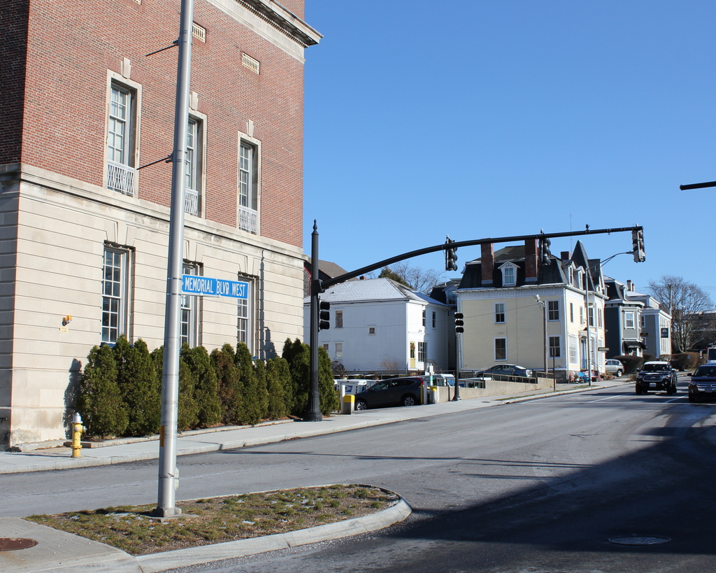
The scene in 2018:

Rosecliff was one of the many Gilded Age summer homes that were built in Newport during the late 19th and early 20th centuries. It was completed in 1902, and was originally the home of businessman Hermann Oelrichs (1850-1906) and his wife, the silver heiress Theresa Fair Oelrichs (1871-1926). The property had previously been owned by George Bancroft (1800-1891), a prominent historian, politician, and diplomat who had served as U. S. Secretary of the Navy from 1845 to 1846, Minister to the United Kingdom from 1846 to 1849, and Minister to Germany from 1867 to 1874. During this time, he maintained a modest summer home here in Newport, which was named Rosecliff for his extensive rose garden.

Following Bancroft’s death in 1891, the Oelrichs purchased the Rosecliff property. The old house was demolished, and they hired the prominent architectural firm of McKim, Mead & White to design a new, larger, and far more elegant replacement. Most of the design work was done by Stanford White, whose earlier Newport commissions included the Isaac Bell House. Although built less than 20 years after the Isaac Bell House, Rosecliff represented a significant shift in White’s designs, from the Shingle style of the 1880s to the Beaux-Arts style of the turn of the century. It also reflected the changes in tastes among the Newport elite, who increasingly demanded summer “cottages” that were modeled after European palaces. In this case, Rosecliff was based on the design of the Grand Trianon at Versailles, which had been built during the reign of Louis XIV.

Hermann and Theresa Oelrichs lived in New York, but spent summers here at Rosecliff, where Theresa was one of the leaders of Newport society. As such, her house was designed for entertaining. Its ballroom, which measures 40 by 80 feet, is the largest in Newport, and it occupies the entire central section of the first floor, between the two projecting wings. The entire house has a total of 30 rooms, is 28,800 square feet in size, and was built at a cost of $2.5 million, or over $73 million today.

The house was built using the wealth that Theresa had inherited from her father, James Graham Fair (1831-1894). Fair had come to the United States in 1843 as a poor young Irish immigrant, but he went on to make his fortune in silver mining following the discovery of the Comstock Lode in Nevada. He also served one term as a U. S. Senator from Nevada, from 1881 to 1887, but was defeated for re-election in 1886. Despite – or perhaps because of – this vast wealth, Fair had a strained relationship with his wife and children, thanks in no small part to his serial adultery. His wife, also named Theresa, divorced him in 1883, and his daughter Theresa did not even invite him to her wedding in 1890. However, this did not stop the younger Theresa from accepting his $1 million wedding gift, nor the $40 million inheritance that she and her sister split after his death in 1894. She would eventually honor his legacy by building the Fairmont Hotel in San Francisco and naming it for him.

Hermann Oelrichs died in 1906, but Theresa continued to spend summers here at Rosecliff until her death in 1926 at the age of 55. Her only child, Hermann Oelrichs, Jr. (1891-1948) inherited the property, but by this point Newport’s massive Gilded Age mansions were falling out of fashion. This would only get worse in the wake of the Great Depression, and Oelrichs ultimately sold the house in 1941 for just $21,000. Adjusted for inflation, this was less than a half of a percent of what his parents had spent to build Rosecliff only 40 years earlier.

The new owner of Rosecliff was Gertrude Niesen (1911-1975), a singer, actress, and Vaudeville performer who was active during the 1930s and 1940s. She owned it for several years, but during this time the house sustained serious damage from a frozen water pipe. She subsequently sold it to Ray Alan Van Clief, who restored the interior, but he was killed in a car accident while on his way to visit the house for the first time after the completion of the renovations.

The next owner of the house was J. Edgar Monroe (1897-1992), a wealthy New Orleans businessman who purchased the property in 1947. He and his wife Louise spent summers here until 1971, when they donated Rosecliff to the Preservation Society of Newport County, a nonprofit organization that owns many of the historic mansions in Newport, including The Breakers and Marble House. The house was opened to the public, and over the years it has also been used as a filming location for a variety of movies, including The Great Gatsby (1974), True Lies (1994), Amistad (1997), and 27 Dresses (2008). Today, the exterior of the house has not significantly changed since the first photo was taken over a century ago, and it is now a contributing property in the Bellevue Avenue Historic District, which was designated as a National Historic Landmark district in 1973.

Thames Street from Cannon Street, Newport, Rhode Island

Looking east on Cannon Street from the corner of Thames Street in Newport, around 1915. Image courtesy of the Providence Public Library.

The scene in 2017:

The first photo shows the view looking up the hill along Cannon Street, a narrow side street that stretched one block from Thames Street to Spring Street. At the time, the street was lined with a variety of houses, most of which appear to have been built during the 19th century. On the left side, at the corner of Thames Street, was a bicycle shop, and several bicycles are visible in the window, just above the dog on the sidewalk. Aside from the bicycles, the cars in the distance are the only other sign of modernity, as the rest of this scene had probably not undergone any significant changes in several decades.

However, this scene would change dramatically within only a year or two after the first photo was taken. Around 1916, the buildings in the foreground were demolished to build a new post office, which now stands on the left side of the present-day photo. Further changes came in the mid-20th century, when Cannon Street was significantly widened to become Memorial Boulevard West. All of the buildings on the south side of the street were either demolished or relocated, but the few remaining ones here on the north side were largely unaffected, aside from being renumbered with Memorial Boulevard West addresses.

Today, the only surviving building that is easily recognizable from the first photo is the yellow Victorian-style house just to the right of the center in the 2017 photo. According to the Newport Historic District inventory, it was built around 1850. However, it must have been significantly altered later in the 19th century, because its Mansard roof and small turret are more in line with architectural styles of the 1870s and 1880s. The house is hard to see in the first photo, but it is partially visible just behind the first car. At the time, it was the home of Mary Maloney, an Irish immigrant who worked as a laundress and lived here with her sister, her niece, and her nephew. The house has since been converted into a bed and breakfast, and it is now the Burbank Rose Inn.

Perry Mill, Newport, Rhode Island

The Perry Mill, seen from the corner of Thames and Cannon Streets in Newport, around 1914-1916. Image courtesy of the Providence Public Library.

The scene in 2017:

The first photo was taken sometime in the mid-1910s, during the construction of the present-day Newport Post Office. It shows a group of commercial buildings, most of which were probably built around the mid-19th century, and the signs advertise for a variety of businesses, including B. Richards Gents Furnishings in the building to the left, and a fish market and Lee Yun Laundry in the buildings to the right. There also appears to be a barber shop in the storefront just to the left of the fish market, as indicated by the striped poles on the exterior.

However, the most prominent building in the first photo is the Perry Mill, which stands diagonally across the intersection in the center of both photos. It was built in 1835 as a textile mill, at a time when Newport had been experiencing several decades of economic stagnation. The city’s once-prosperous shipping industry had been badly hurt by the American Revolution, and never fully recovered. By the early 19th century, much of New England’s economy had shifted from trade to industry, and inland manufacturing centers had begun to eclipse colonial-era seaports such as Portsmouth, Salem, and Newport.

Architecturally, the Perry Mill was very different from most other New England mills of this period. Instead of a brick exterior, it was built of stone, and featured details such as lintels over the windows, quoins on the corners, and a fanlight just underneath the gable. It was the work of Scottish-born stonemason Alexander MacGregor, and was one of the few major building projects in Newport during this period. However, despite hopes that the mill would revive the city’s economy, Newport never became a major industrial center. Its location on an island, which had benefitted its merchant fleets, proved a liability in the age of railroads, and Newport would not see widespread prosperity until the second half of the 19th century, when the city reinvented itself into one of the country’s most exclusive summer resort communities.

The mill was still standing in its original appearance when the first photo was taken, but at some point in the 20th century it was heavily altered with the removal of the gabled roof and fourth floor. From 1943 to 1984, the building was owned by General Electric, but it was subsequently converted into retail space, and now houses shops and restaurants. As part of this renovation, the upper part of the building was reconstructed, and the only noticeable evidence of this change is the slightly lighter-colored stone above the third floor.

Today, the Perry Mill stands alone in this scene, with none of the other buildings surviving from the first photo. The post office, which was barely under construction when the first photo was taken, is still there, but the rest of the area has dramatically changed. In the mid-20th century, the four-lane America’s Cup Avenue was built along the waterfront of Newport, running along the west side of Thames Street for part of its route. This meant that many Thames Street buildings had to be demolished, including the ones on the right side of the first photo. However, just before reaching the Perry Mill, America’s Cup Avenue makes a sharp left turn, becoming Memorial Boulevard West. This was constructed around the same time, and involved demolishing all of the buildings on the south side of Cannon Street, including the one on the left side of the photo. As a result, the Perry Mill was spared by these projects, and it remains a prominent landmark along Newport’s waterfront.

First Congregational Church, Holyoke, Mass

The First Congregational Church, at the corner of Hampden and Pleasant Streets in Holyoke, around 1910. Image from Holyoke: Past and Present Progress and Prosperity (1910).

The church in 2017:

Holyoke’s First Congregational Church was established in 1799, as the Third Congregational Church of West Springfield. At the time, West Springfield encompassed the present-day towns of Agawam and Holyoke. The latter was variously known as the Third Parish or Ireland Parish, and was only sparsely settled, with most of its population was located along Northampton Street. The church had only 11 members when it was established, and shared space with the First Baptist Church. Not until 1834 did the Congregational church move into a building of its own, upon the completion of a modest Greek Revival-style church near the corner of Northampton and Dwight Streets.

Holyoke was incorporated as a separate municipality in 1850, and the church became the First Congregational Church of Holyoke. Around the same time, the new town was undergoing a rapid transformation from a small farming community into a major industrial center. However, most of this new development was along the banks of the Connecticut River, far removed from the church on Northampton Street. Despite a significant growth in Holyoke’s population, the church actually declined in membership during this time, with many parishioners leaving to join the newly-established Second Congregational Church, with its more convenient location at the corner of High and Dwight Streets.

Faced with this decline, along with a revolving door of pastors throughout the 1870s and 1880s, the church finally decided to relocate closer to downtown Holyoke. In 1886, the church purchased this lot at the corner of Hampden and Pleasant Streets, and by the end of the following year it had completed a chapel on the site, which is visible on the far right side of both photos. Although still located some distance from downtown Holyoke, the new church was situated in the midst of a new upscale residential development, and within just a few years its membership had more than doubled, from 64 at the time of the 1887 move, to around 160 by 1890.

Church services were held in this chapel until 1894, when the church building itself was completed. The new church was the work of prominent Holyoke architect George P. B. Alderman, and featured a Romanesque-style design that was common for churches of this period. The exterior was primarily brick, with brownstone trim, and included common Romanesque elements such as rounded arches, asymmetrical facades, and a mix of towers and turrets of varying heights. The overall design bore some resemblance to the new Second Congregational Church, which had been completed almost a decade earlier on Maple Street, although that church had been constructed entirely of brownstone instead of brick.

Throughout the 20th century, the First Congregational Church underwent a series of mergers and name changes. In 1961, it became First United Congregational Church after a merger with the German Reformed Church, and then in 1973 it became Grace United Church after merging with Grace Church. The members of Grace United continued to worship here until 1995, when the church merged with the Second Congregational Church, becoming the United Congregational Church of Holyoke. Following this merger, most religious services were held at the former Second Congregational building on Maple Street, but the church retained ownership of the former First Congregational building here on Pleasant Street, which was repurposed as the E. B. Robinson Ecumenical Mission Center. The church still owns the property today, and the historic building is still standing with few exterior changes since the first photo was taken, although it appears to vacant as of the 2017 photo.

High Street from Essex Street, Holyoke, Mass

Looking north on High Street from the corner of Essex Street in Holyoke, around 1910-1915. Image from Illustrated & Descriptive Holyoke Massachusetts.

The scene in 2017:

In the northern part of downtown Holyoke, much of High Street has remained well-preserved, with entire blocks that have hardly been changed since they were developed in the second half of the 19th century. However, this is not the case further to the south, where newer buildings and vacant lots are a more common sight. This block, between Essex and Appleton Streets, has a small group of historic buildings at its northern end, but the southern part of the block, seen here in the foreground, is hardly recognizable from the first photo.

The most prominent building in the first photo is the eight-story LaFrance Hotel, which occupies much of the right side of the scene. It was built in the first decade of the 20th century, and was originally owned by Louis A. LaFrance, a French-Canadian immigrant who became a prominent figure in Holyoke’s real estate and construction business. The LaFrance Hotel was among his most notable properties, and was designed by local architect William B. Reid. It was also among the tallest buildings in the city, towering above the other commercial blocks on High Street, which generally ranged from two to six stories.

Further in the distance, at the corner of Appleton Street, is a pair of six-story buildings that were constructed a few years earlier in the 1890s. The narrower of these two is the red brick McLean Building, and just beyond it is the yellow brick Senior Block, which extends to Appleton Street. Diagonally across from the Senior Block is the turreted YMCA building, which is visible just to the left of the trolley in the distance of the first photo. This was probably the most historically-significant building in the scene, as it was the place where, in 1895, William G. Morgan invented the game of volleyball.

Today, all of the buildings in the foreground of the first photo have either been demolished or altered beyond recognition, and may of the buildings further in the distance are gone as well. Both the McLean Building and Senior Block are still there, but the historic YMCA building across the street was destroyed in a fire in 1943. The LaFrance Hotel, which later became the Essex House, stood here for many years. However, by the early 2000s it was vacant and in poor condition, with bricks regularly falling onto neighboring buildings. It was slated for demolition in 2014, but the process was expedited by a partial collapse that occurred the day before demolition work was scheduled to begin. The rest of the building was subsequently taken down, and the site is now a vacant lot.

High Street from Division Street, Holyoke, Mass

Looking north on High Street from the corner of Division Street in Holyoke, around 1910-1915. Image from Illustrated & Descriptive Holyoke Massachusetts.

The scene in 2017:

High Street has been the commercial center of Holyoke since the second half of the 19th century, and it is still lined with a number of historic buildings that date back to this period. This particular block, looking north from Division Street toward Suffolk Street, has not remained as well-preserved as some of the blocks to the north, as shown by the differences between these two photos. However, there are still some surviving buildings from the first photo, particularly in the foreground on the right side.

Starting on the far right, closest to the foreground, is the Guyott House, a hotel that was built in the mid-1880s and was operated by brothers Theodore and Victor Guyott. It occupies a corner lot, and features a small tower that projects slightly above the roofline and outward from the walls. Just to the left of it is a four-story building with an ornate brownstone facade. Built in 1892, it was also owned by the Guyott brothers, and was evidently used as part of the hotel at some point. Although these two buildings have very different exterior designs, they both feature Romanesque-style architecture, and both were designed by noted Holyoke architect George P. B. Alderman.

Further in the distance is a four-story, brick building at 320-322 High Street. It was probably built around the same time as its neighbors to the right, although its architect appears to be unknown. On the left side of this building, in the first photo, is the old central fire station, which was completed in 1864. It was probably the oldest building visible in the first photo, and served as the city’s first central fire station until around 1915, when a new fire station was built on Maple Street. This new building is still standing as the Holyoke Transportation Center, but the old one was demolished soon after the first photo was taken, and the present six-story Young Men’s Hebrew Building was constructed on the site.

Several other buildings on the right side have also since been demolished, including the Cunningham Building, which once stood at the corner of Suffolk Street on the other side of the fire station. However, the left side of the scene has undergone more drastic changes in the century since the first photo was taken. The small two-story building, constructed sometime in the early 1910s, appears to still be there, but not much is left from the 19th century. Perhaps the only relatively unaltered 19th century building along this section of High Street is the Conway Block, which was built around 1885 and still stands in the distance on the southwest corner of Suffolk Street.