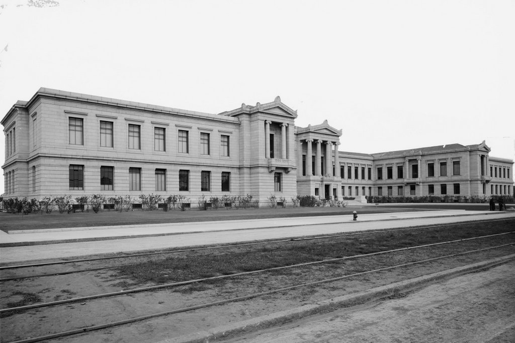
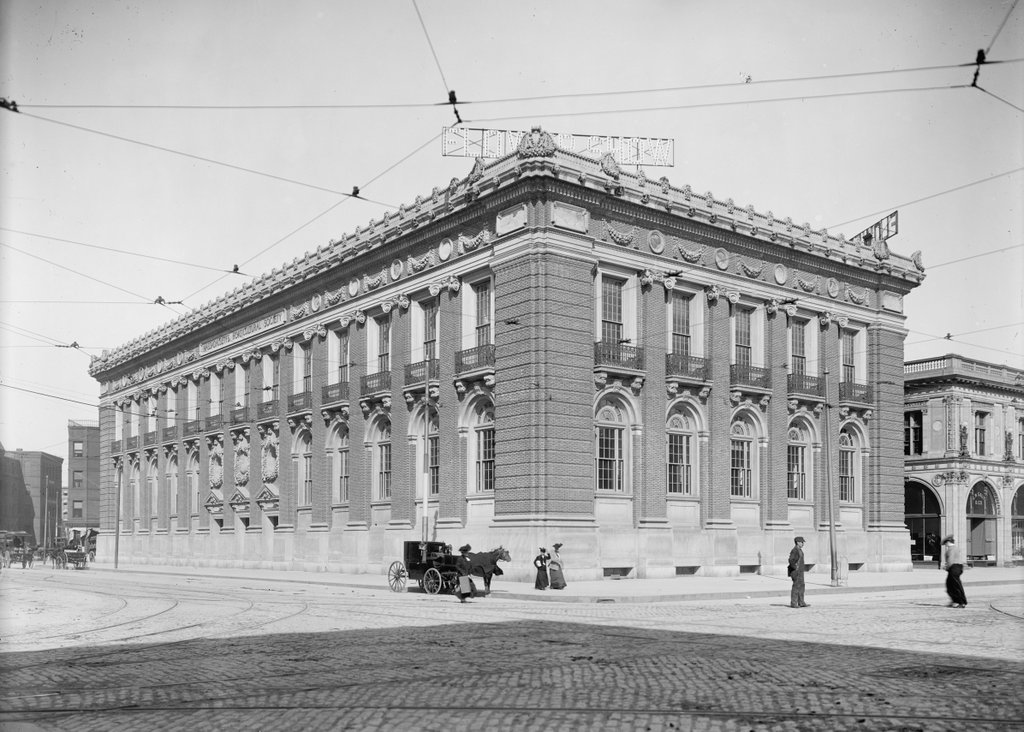
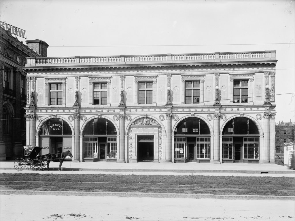
The Boston Opera House on Huntington Avenue, around 1909-1910. Image courtesy of the Library of Congress, Detroit Publishing Company Collection.
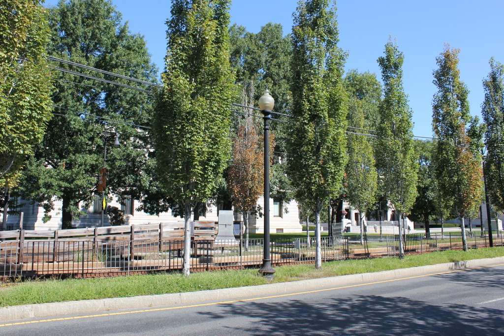
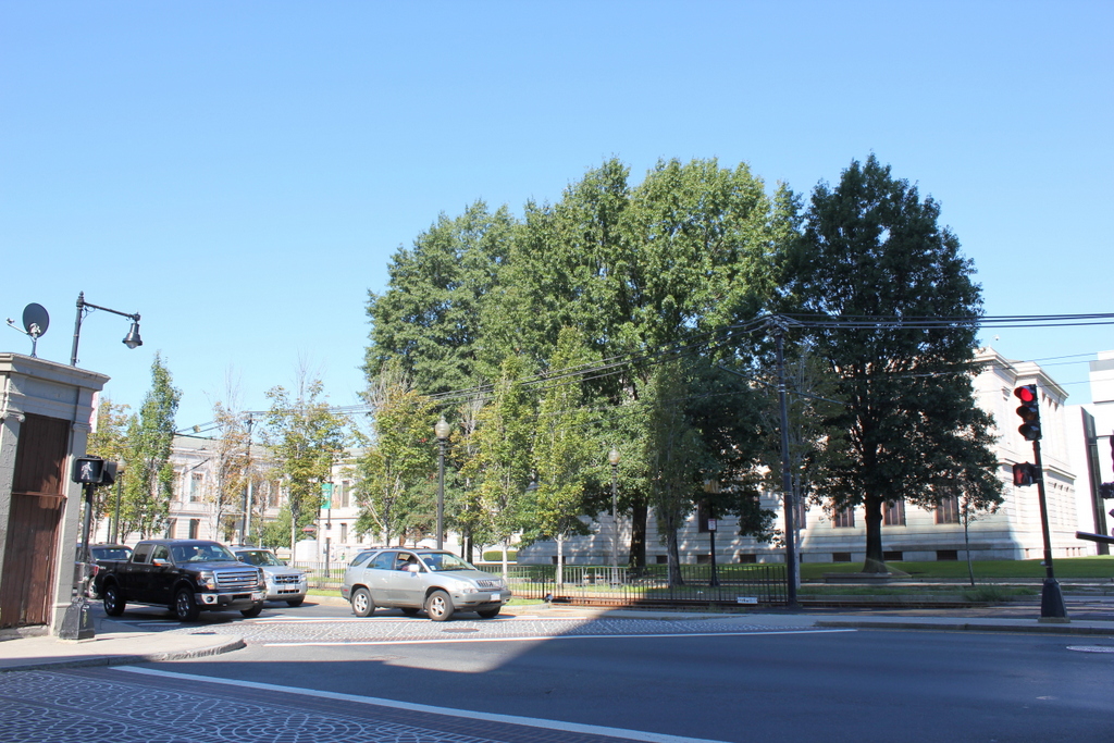
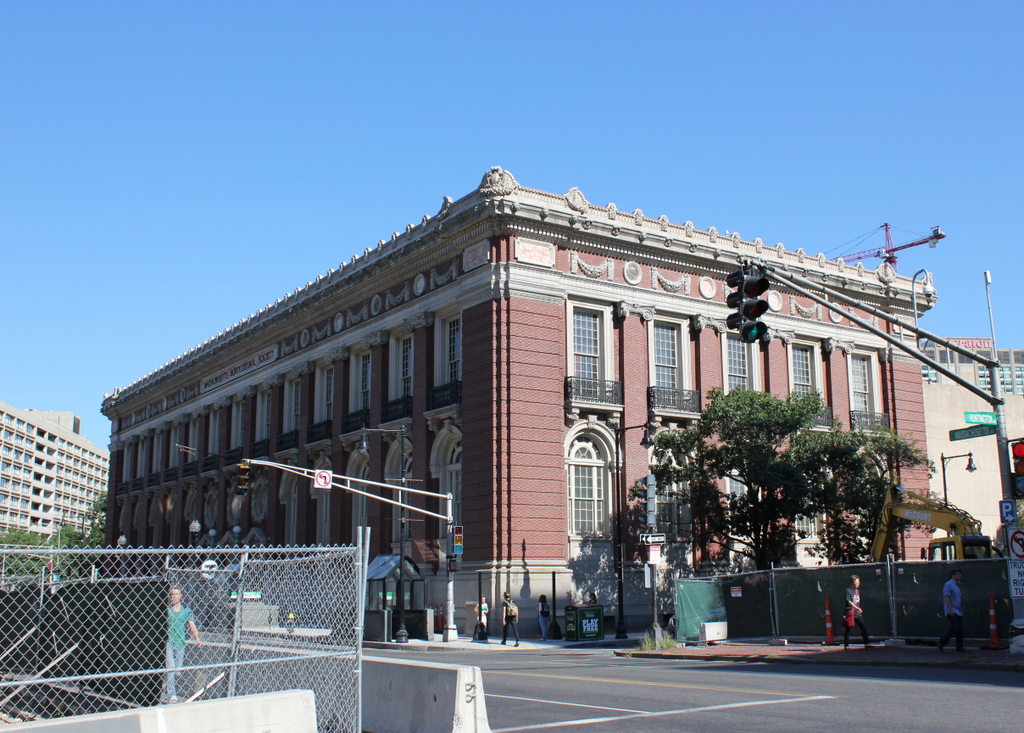
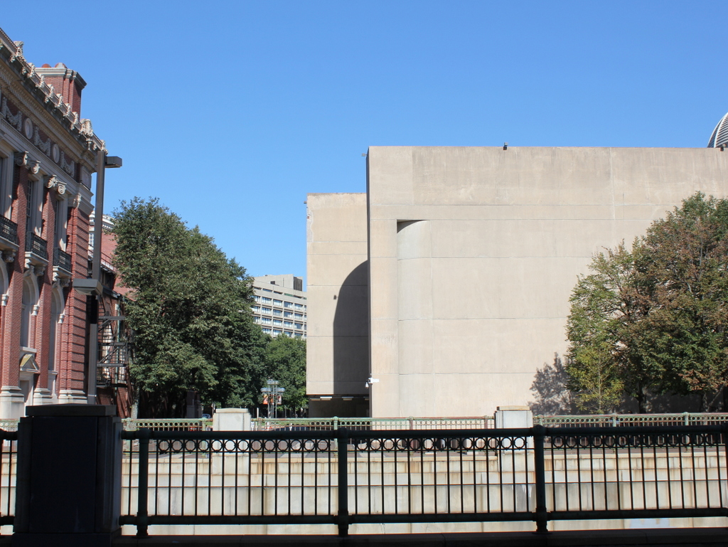
The site in 2015:
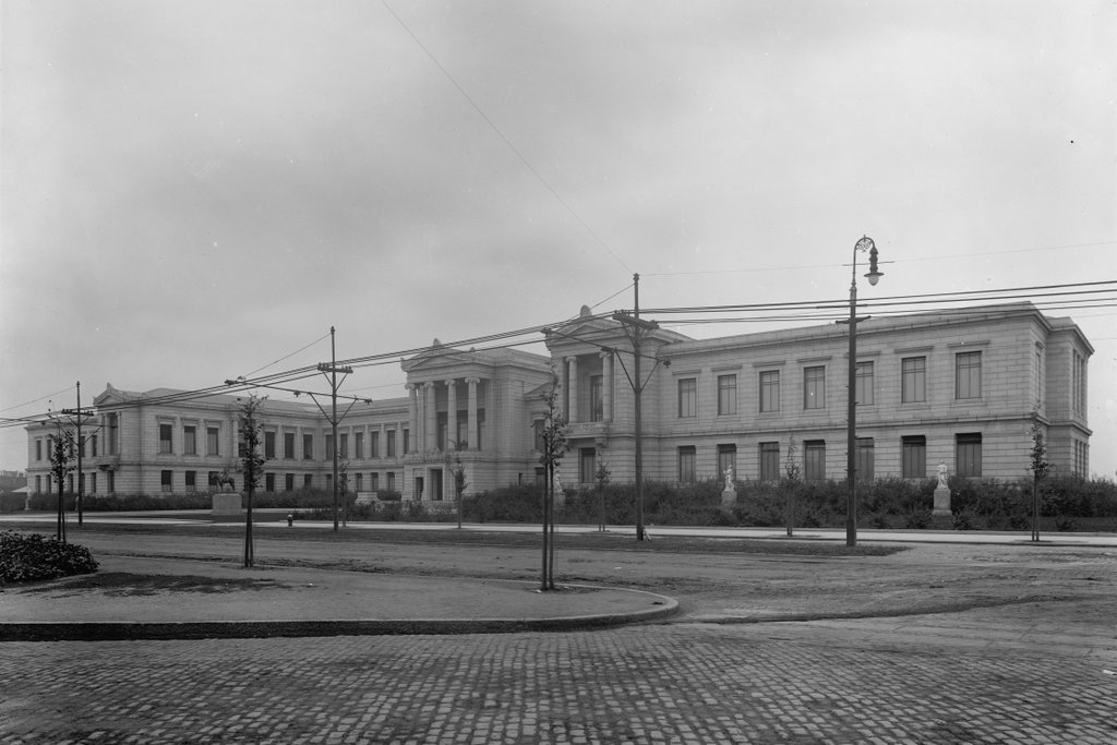
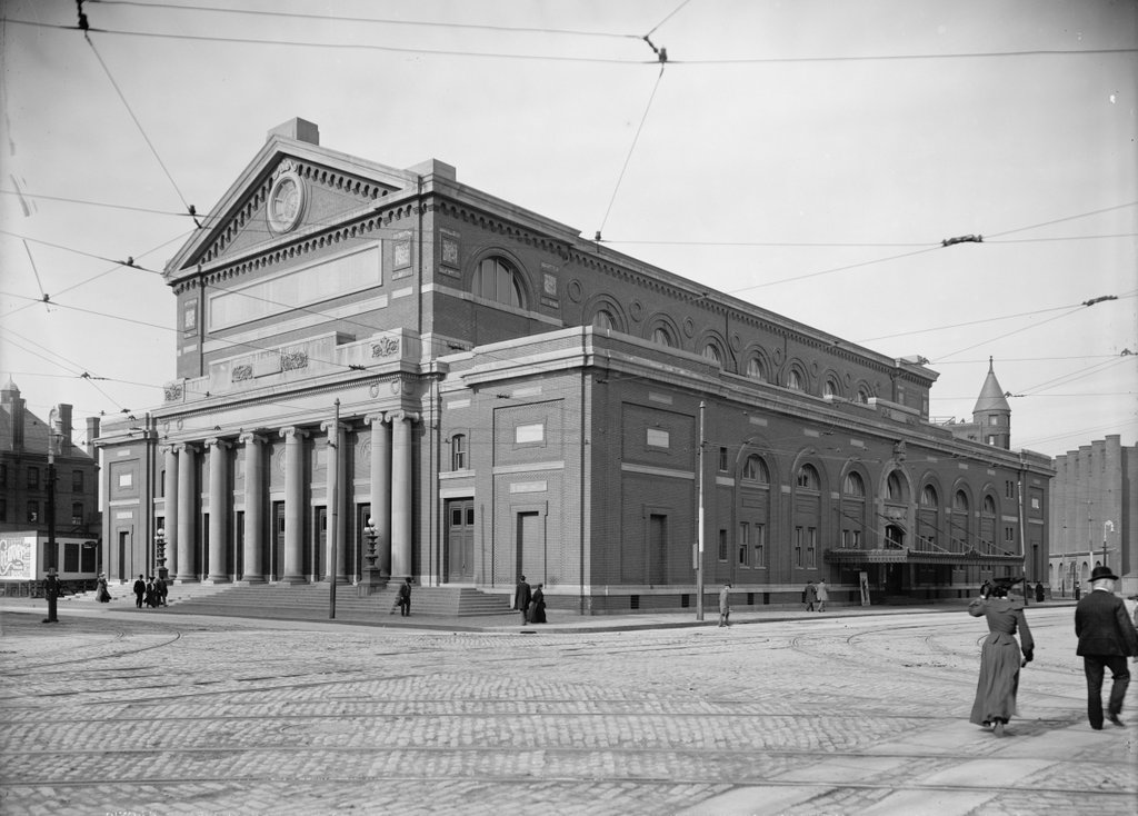
The first decade of the 20th century was a busy time for this section of Huntington Avenue. It came to be nicknamed “The Avenue of the Arts” because of the number of institutions that opened new buildings here during this time, including the Boston Opera House, Symphony Hall, Chickering Hall, Horticultural Hall, the New England Conservatory of Music, and the Museum of Fine Arts.
The Boston Opera House was built thanks to the efforts of Eben Dyer Jordan, Jr., the son of the co-founder of Jordan Marsh & Company, a Boston-based department store. Jordan provided much of the funds necessary to create a world-class opera house in the city, and also established the Boston Opera Company to perform in the building. It opened in 1909, in an area that was sparsely developed at the time. The building barely visible to the left in the first photo was a warehouse, and directly across the street from here was Huntington Avenue Grounds, which served as the home of the Boston Red Sox from 1901 until 1911. Otherwise, there were plenty of vacant lots in the area, although these would steadily be developed over the next few decades as the city continued to grow westward.
The first photo was probably taken soon after the opera house opened, and the signs outside the front doors list some of the Boston Opera Company’s upcoming performances, including Aida, La traviata, Rigoletto, Faust, and Pagliacci. However, its glory days as an opera house were brief. The Boston Opera Company went bankrupt in 1915 after just six seasons, and Eben Jordan died the following year. The popularity of opera was declining, and although the massive 3,000 seat building was idea for opera, it was ill-suited for most other uses.
In 1918, the building was sold, and the new owners renovated the interior to make it more practical for other uses. Over the next 40 years, it would be used for everything from operas to circuses, and even boxing matches and, in 1950, a broadcast of The Ed Sullivan Show. However, by the late 1950s the building was in need of serious repair, and both the owners and the city of Boston were indifferent toward the fate of the building. The nearby Northeastern University was looking to expand, so in 1958 the old opera house was demolished to make a parking lot. Later, the university built Speare Hall, the dormitory that now stands on the site. Today, the only reminder of this site’s past is the short, one-way street to the right, which is still named Opera Place.