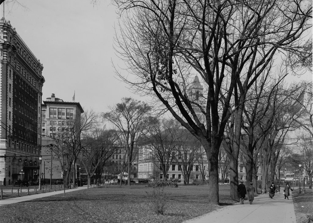
Worcester Common, Worcester, Mass

The Worcester Common, seen facing west from the corner of Franklin and Church Streets, around 1914-1920. Image courtesy of the Library of Congress, Detroit Publishing Company Collection.

1022_1910-1920-loc

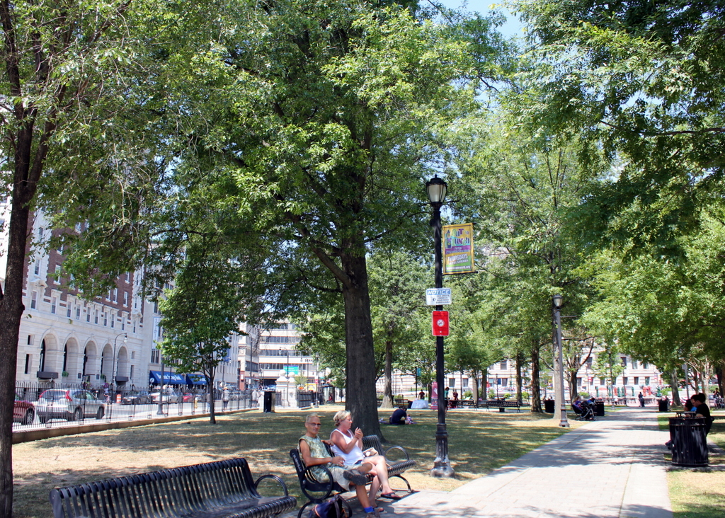
The Common in 2016:

1022_2016
Today, Worcester is the second-largest city in New England, and the Common has been at the center of the city ever since it was a small colonial settlement in the 17th century. Set aside in 1669, more than 50 years before Worcester was formally incorporated as a town, the Common was originally used as a training ground for the militia, burial ground, and the site of the meetinghouse. It was once much larger, but as the city has grown up around it, this common land has steadily shrunk to its current dimensions, and at one point in the 19th century even had railroad tracks running across it.

The first photo was taken shortly after the completion of several prominent buildings along the Common, which are still standing today. These buildings, designed in the popular Classical Revival style of the turn of the 20th century, include the 1913 Bancroft Hotel on the left, the 1915 Park Building to the right of it, and the 1898 City Hall, which is mostly hidden by trees in the distance on the right. Along with the Common itself, all three of these buildings are now listed on the National Register of Historic Places.

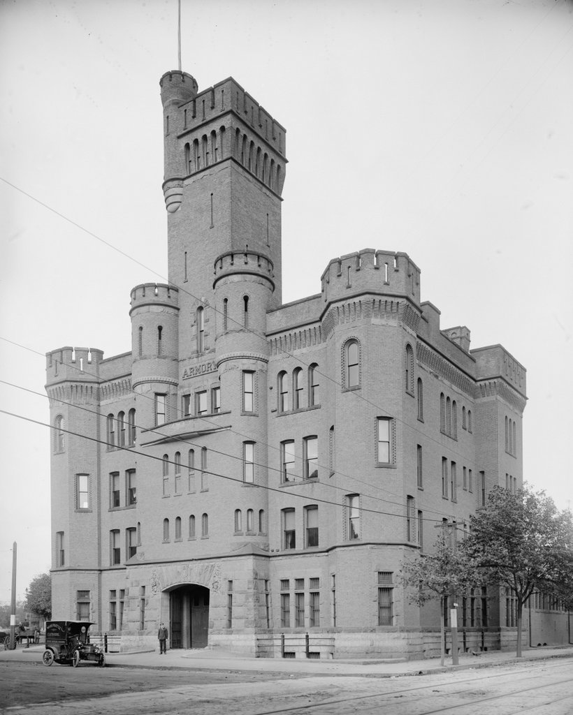
National Guard Armory, Worcester, Mass

The National Guard Armory at the corner of Salisbury and Grove Streets in Worcester, around 1906. Image courtesy of the Library of Congress, Detroit Publishing Company Collection.

1016_1906c-loc

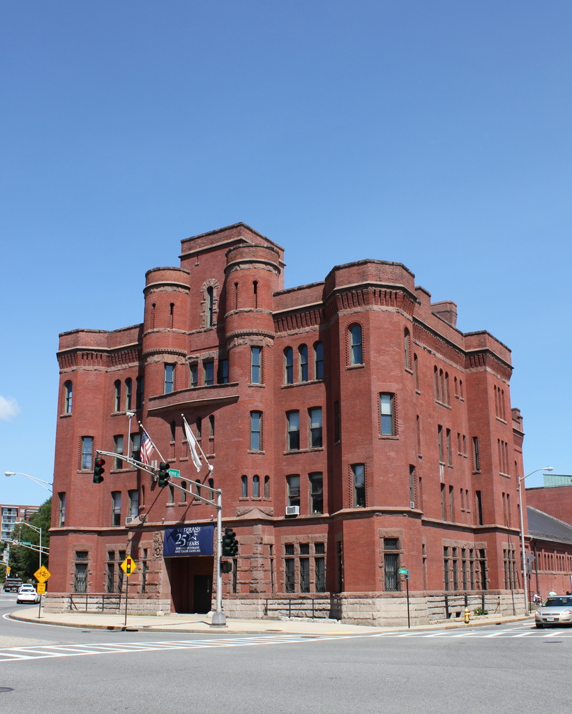
The building in 2016:

1016_2016
This castle-like design was a common element of National Guard armories in Massachusetts built in the late 19th century, and similarly imposing structures from the same time period can be seen in Springfield and Boston. Although it was never besieged by enemy armies, and no arrows ever rained down from the turrets, the building has been a landmark feature at Wheaton Square ever since its completion in 1890. It was designed by the Worcester-based firm of Fuller & Delano, and as seen in an earlier post, it is one of several prominent Romanesque-style buildings that were constructed here around the same time period.

Today, the armory building is no longer used by the National Guard. For many years, it was home to the National Guard Museum and Archives, but in 2013 the museum moved to Concord, and the following year the building was transferred to Veterans, Inc., an organization that serves homeless veterans and had leased part of the building since 1991. It is also a contributing property in the Institutional District, on the National Register of Historic Places, and aside from the shortening of the central tower the building’s exterior remains well preserved over 125 years after its completion.

Worcester County Courthouse, Worcester, Mass

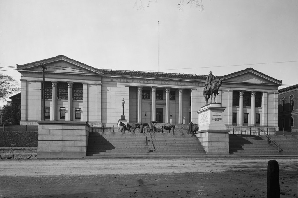
The old Worcester County Courthouse at the corner of Main and Highland Streets in Worcester, around 1908. Image courtesy of the Library of Congress, Detroit Publishing Company Collection.

1014_1908c-loc

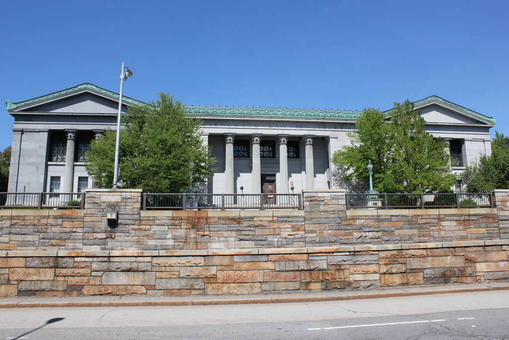
The building in 2016:

1014_2016
Geographically, Worcester County is the largest of the 14 counties in Massachusetts, and for many years this building served as the county courthouse. It has been expanded several times over the years, but the original section is the left side of the building. Completed in 1845, it was designed by architect Ammi B. Young, a Greek Revival architect whose other works included the old Vermont State House, the Custom House in Boston, and part of the US Treasury Building in Washington, DC.

When it was first built, the courthouse had a different front, with a typical portico supported by six granite pillars. These were removed in 1897, during a major addition that included remodeling the facade of the original building and expanding it north, to the right from this view. The current front entrance was added at this point, with its four pillars and the phrase “Obedience to Law is Liberty” carved above them. On the right side of the building, this section matches the design of the reconstructed 1845 building, giving the building a symmetrical Main Street facade.

The courthouse remained in use for nearly a century after the first photo was taken, but by the early 2000s it was replaced with the current courthouse several blocks south of here on Main Street. After years on the market, the building was sold to a private developer in 2015, who plans to preserve it and put it to a new use. From the exterior, not much has changed with the building itself from this angle, although some of its surroundings have. The statue in the first photo, honoring Civil War general Charles Devens, is missing in the 2016 scene, but it is still at the courthouse, having been moved just around the corner and out of view to the right.

Aside from the statue, the only other significant change is the structure in the foreground. Part of the Ernest A. Johnson Tunnel, it was built in the 1950s by prominent Norwegian civil engineer Ole Singstad, who at this point in his career has already been responsible for such projects as the Lincoln and Holland Tunnels in New York City. Substantially easier than building under the Hudson River, this project involved bypassing the congested Lincoln Square to provide a direct underground connection between Main and Salisbury Streets. It is still used today, carrying southbound traffic into downtown Worcester and merging onto Main Street just south of the old courthouse.

Old State House, Hartford, Connecticut

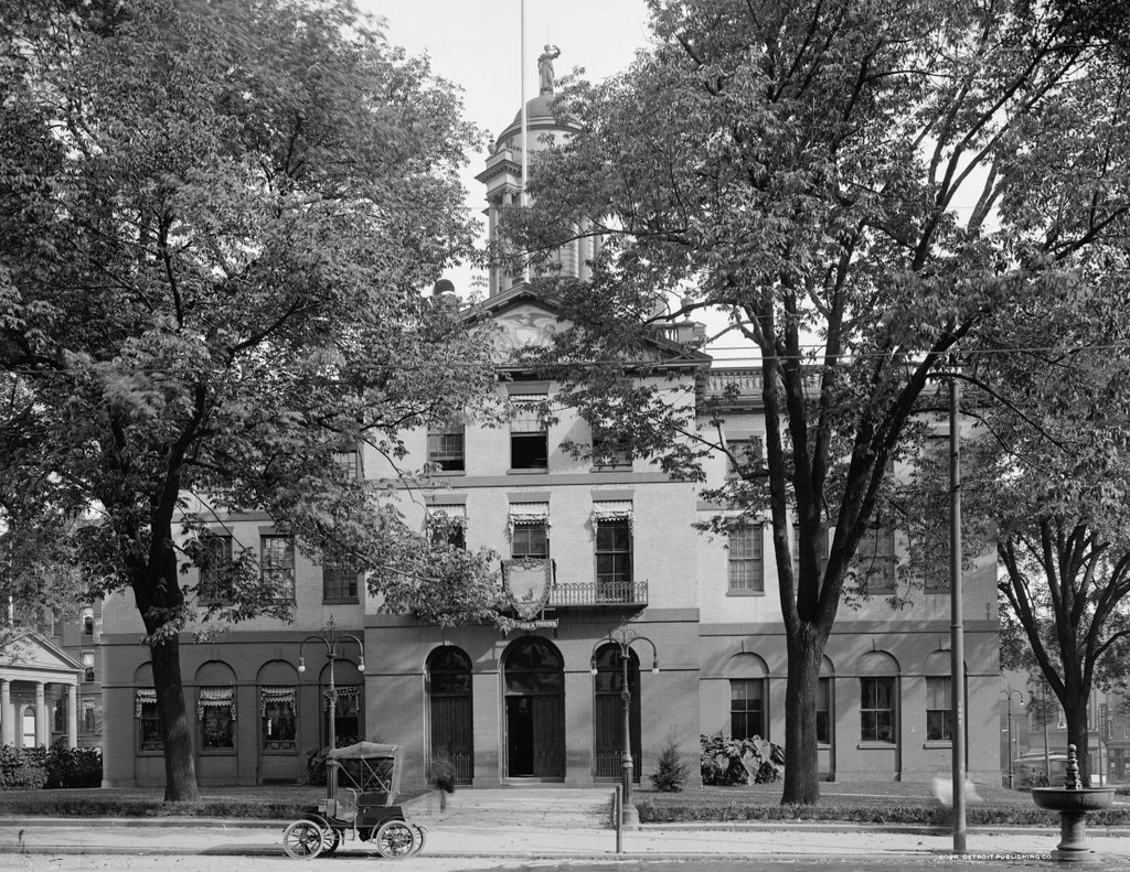
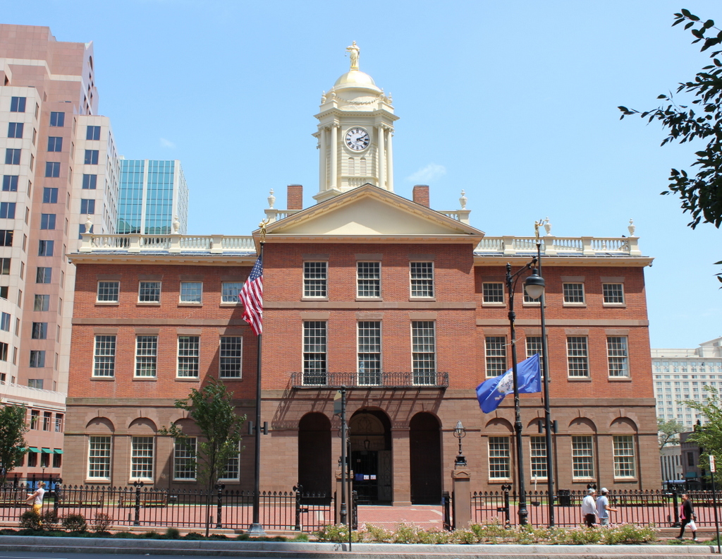
The Old State House in Hartford, seen from the Main Street side around 1907, during its time as Hartford City Hall. Image courtesy of the Library of Congress, Detroit Publishing Company Collection.

1005_1907c-loc

The building in 2016:

1005_2016
The Old State House in Hartford is one of the oldest existing buildings in the city. It was completed in 1796, and its design is generally credited to prominent architect Charles Bulfinch as one of his early commissions. Just a few years later, he would design the present Massachusetts State House, and he would later play a role in designing the US Capitol.

At the time, Connecticut actually had two capital cities, with the legislature meeting alternately between Hartford and New Haven. It may seem somewhat unusual for one of the smallest, most densely-populated states in the country to have two capital cities, each complete with its own capitol building, but the arrangement was not unheard of. Similarly-sized New Jersey had two capitals in colonial times, and, not to be outdone despite its small size, Rhode Island had five capitals in the early 19th century, with the legislature rotating through each of the state’s five county seats.

Here in Connecticut, ease of transportation thanks to railroads meant that it was unnecessary to have redundant capitals just 35 miles apart, but the location of the capital city still carried significant symbolic value. In the end, Hartford won out over New Haven. In 1875, it was designated as the sole capital city, and three years later a new, much larger capitol building was completed at Bushnell Park.

When its days as a capitol ended, the old building became Hartford City Hall. It served in this role until 1915, when the current Municipal Building was completed. Since then, it has been threatened with demolition several times over the years, but it remains standing as a relic of Connecticut’s history, and it is listed as a National Historic Landmark on the National Register of Historic Places.
State Street from Main Street, Hartford, Connecticut

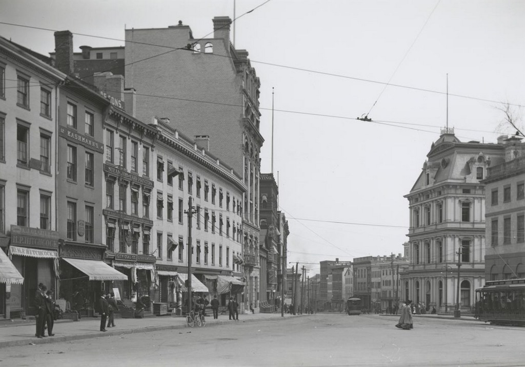
Looking east on State Street from Main Street in Hartford, on April 22, 1906. Image courtesy of the Connecticut State Library.

State St. east of Main

The scene in 2016:

1001_2016
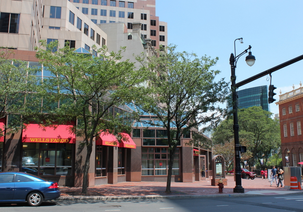
The 1906 photo here shows several prominent buildings at the western end of State Street, including the Old State House on the far right and the post office building next to it. On the left side of the street, the long four-store building near the foreground was the United States Hotel. It was built in the early 1800s, and for much of the century it was one of the finest hotels in the city. The eastern part of the building was demolished in the 1890s to build the First National Bank Building, which was completed in 1899 and dominates the left side of the first photo. By the time this photo was taken in 1906, the rest of the hotel was still standing, but had been converted into offices in 1901.

Built in 1796, the Old State House was probably the oldest building in the first photo, and today it is the only one that has survived relatively intact. The old United States Hotel building was demolished in 1924, and the post office followed in 1933. In the early 1980s, the entire left side of the photo was redeveloped as State House Square, and the only remnant of the old commercial buildings here is the First National Bank Building, whose facade was incorporated into the construction of the modern office building.

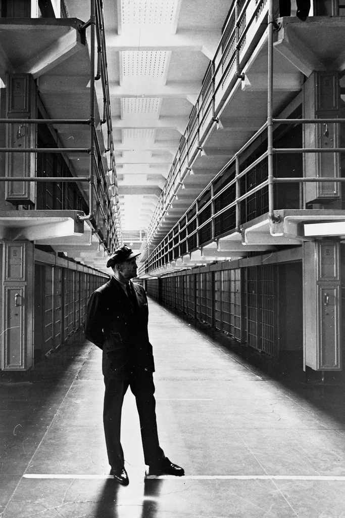
Lost New England Goes West: Main Cell Block, Alcatraz, San Francisco

Alcatraz guard Carl T. Perrin, on duty on March 21, 1963, the last day of the prison’s operation. Photo taken by Keith Dennison, courtesy of the National Park Service.

909_1963-03-21 nps

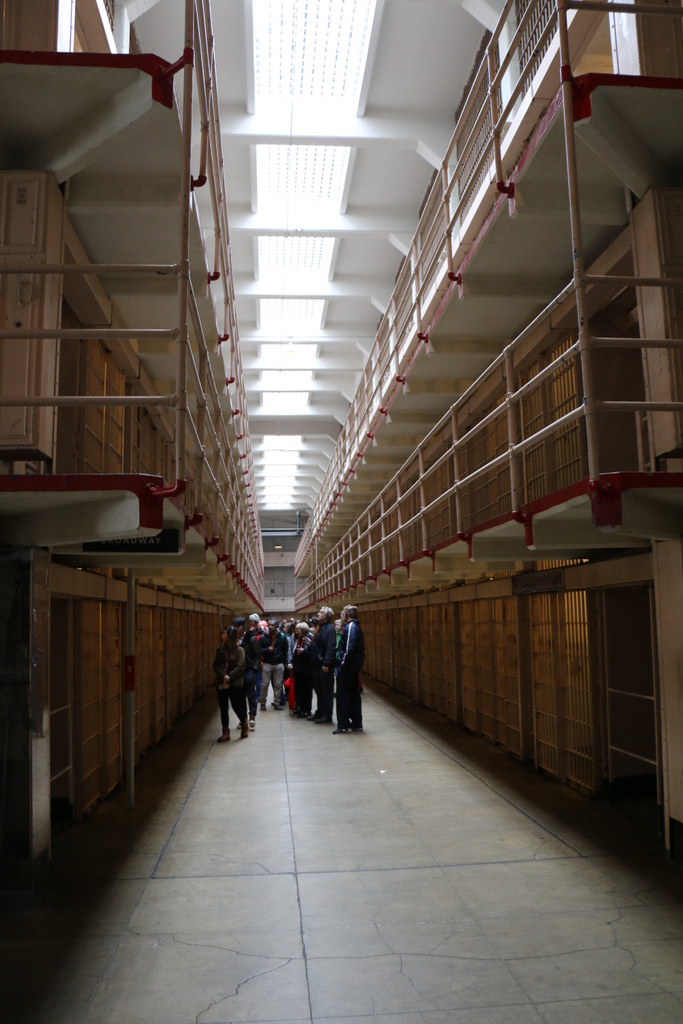
The scene in 2015:

909_2015
The corridors between the cell blocks at Alcatraz were named after major streets; this particular one was known as Broadway, and it was the central corridor in the facility, separating blocks B and C. The block had three levels of cells, and most of the inmates were kept in either B or C blocks, with the more isolated D block being used for isolation and punishment, like solitary confinement.

Because Alcatraz was intended for the nation’s most problematic federal prisoners, the prison enforced many strict regulations. Each cell housed only one person, and conversations between inmates were strictly limited to discourage them from coordinating escapes. “Lights out” was at 9:30 P.M., and, unless they worked a prison job, the inmates spent nearly 23 hours a day in their cells, passing the time by reading, smoking, and occasionally playing musical instruments or making artwork. Images of the interior of the cells can be seen in this earlier post and this one.

This post is part of a series of photos that I took in California this past winter. Click here to see the other posts in the “Lost New England Goes West” series.