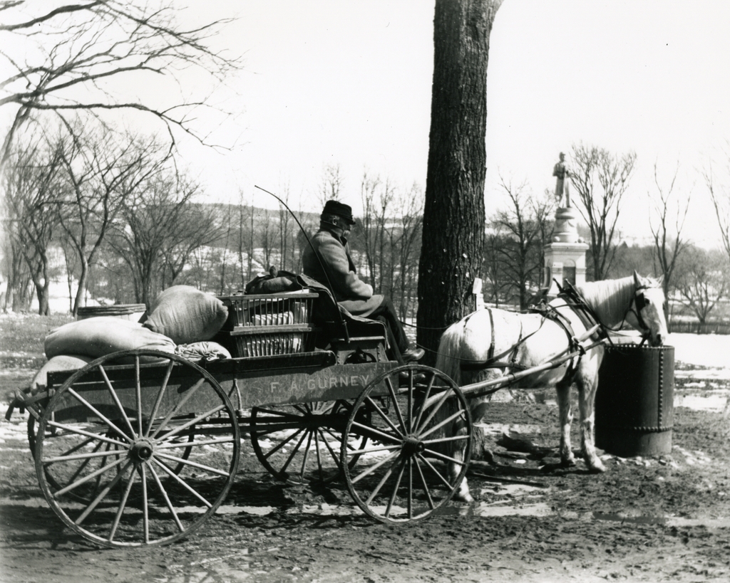
F.A. Gurney Delivery Wagon, Wilbraham Mass

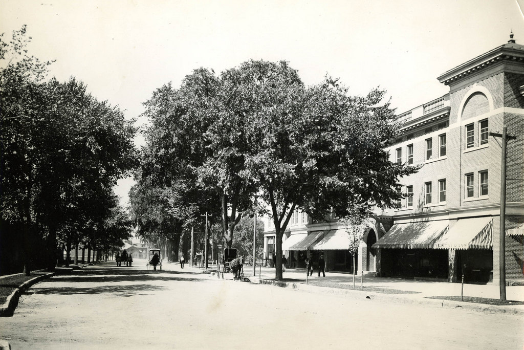
The delivery wagon for F.A. Gurney’s Store, seen on Main Street in Wilbraham around 1903. Photo courtesy of the Wilbraham Public Library.

455_1903c wpl

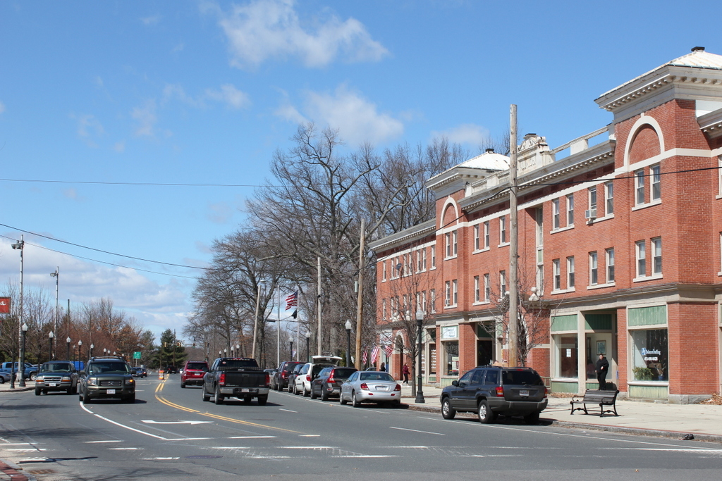
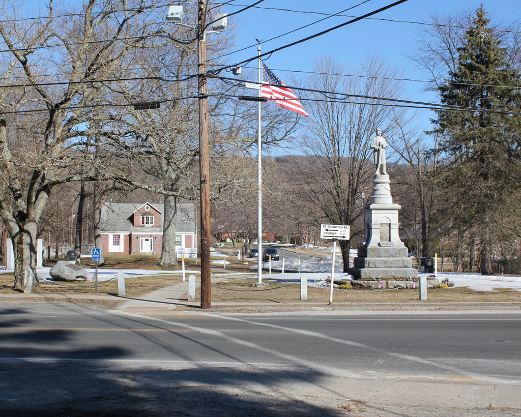
The same scene in 2015:

455_2015

The town of Wilbraham was originally part of Springfield, located on the far eastern end of Springfield’s original 1636 boundaries, where the relatively flat Connecticut River valley comes to an abrupt end at the hills seen in the distance.  When first settled in 1730, it was known as the “Outward Commons,” and even earlier a part of present-day Wilbraham was given the rather hyperbolic name of “World’s End,” which seems to give a rather dramatic idea of how remote this area was to Springfield’s Puritan settlers.

These two photos are taken in the town center, just across from Crane Park and the Soldiers’ Monument.  According to the information provided by the Wilbraham Public Library, the 1903 scene shows Frank Blodgett driving the delivery wagon for the F.A. Gurney Store, a general store that was located just behind the photographer.  The destination of his goods is Sixteen Acres, just across the city line into Springfield.  Today, Sixteen Acres is a suburban neighborhood in Springfield, but at the turn of the last century it was a rural farming community, and the photo appears to have been taken sometime in late winter as the snow was melting, so the goods on the wagon were probably headed for farmers who were preparing for the coming spring.

The only obvious landmark in both photos is the Soldiers’ Monument, which was dedicated in 1894.  One of the guests at the dedication was future Governor and Senator Winthrop M. Crane, whose grandmother Lucinda Brewer once lived in a house on this spot.  Lucinda Brewer married paper manufacturer Zenas Crane, the founder of Crane & Co. in Dalton, Massachusetts.  Winthrop himself was the company president, and in 1879 he obtained a contract to produce the paper for United States paper money.  The company has been producing paper for American currency ever since, and Wilbraham’s Crane Park is named for the family.

Court Street, Springfield, Mass

Court Street in Springfield, sometime before 1905. Photo from author’s collection.

444_1900c-2Bpersonalcollection

Court Street in 2014:

444_2014

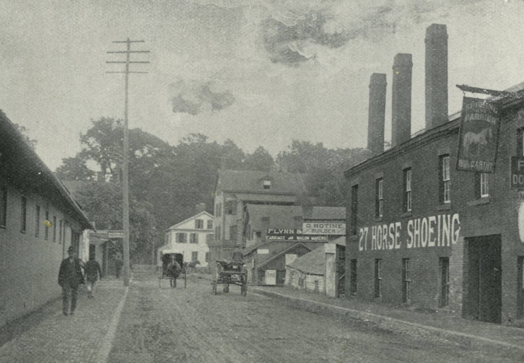
I came across the first photo in a 3-for-$1 bin at an antique store, and despite the odd coloring it provides an interesting view along Court Street from around the turn of the last century.  It is an albumen print, mounted on thick paper, and evidently colorized after processing.  There are no identifying marks on the photo, and the only way I was able to figure out the location was because I recognized the old police station and City Hall as being in Springfield.  My guess is that it was probably taken sometime in the 1890s, but it could’ve been anytime before 1905, when the old City Hall burned down.

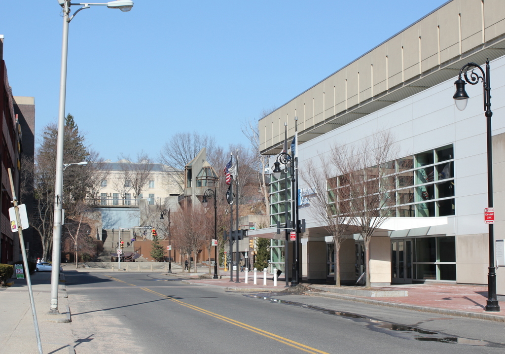
To the left of City Hall, in the foreground of the first photo, is the old police department headquarters, which was later demolished to make way for the Springfield Municipal Group.  The new City Hall, which was completed in 1913, is still there, on roughly the same spot that its predecessor stood in the first photo.  The site of the former police station is now the area between City Hall and Symphony Hall, where the campanile tower is.  In the background, One Financial Plaza building looms over City Hall, between City Hall Plaza and Main Street.  The only building in the present-day scene that would’ve even existed when the first photo was taken is the former Springfield Five Cents Savings Bank building at the corner of Main and Court Streets, although its Main Street facade has been altered beyond recognition.

North Main Street, Springfield, Mass

Main Street in Springfield, looking toward the North End near Congress Street, around 1882. Photo from Springfield Illustrated (1882).

439_1882c-2Bspringfieldillustrated

The scene in 2023:

The only readily identifiable building in the first photo is on the right side of Main Street, the Hooker School, which was a grammar school that opened in 1865.  In the 1884 King’s Handbook of Springfield, it is described as “the finest of the grammar-school buildings in external appearance,. for which it is indebted to its imposing tower (containing a clock with illuminated dial), as well as to the beautiful network of vines which in summer relieve the bareness of its brick walls.”

The building continued to be used as a grammar school until 1918, and it subsequently became the Continuation School, and then as the girls’ division of the Trade School. It finally closed in 1940, and it was demolished in 1944. Then, about 20 years later most of the surrounding area was demolished as part of an urban renewal plan, which included constructing a large interchange between Interstates 91 and 291, as shown in the second photo.

State Street, Springfield, Mass

State Street in Springfield, looking toward St. Michael’s Cathedral around 1882. Photo from Springfield Illustrated (1882).

436_1882c-2Bspringfieldillustrated

State Street in 2014:

436_2014

This view is similar to the scene in this post, but here we see a little more along the north side of State Street.  Several buildings are still there, including the 1860s St. Michael’s Cathedral and the rectory next to it.  Further up State Street in the 1882 scene, the Alexander House is visible in the distance.  This historic house was moved in 2003 to make way for the construction of the new federal courthouse, although it is still visible in the 2014 photo, in the distance between the church and the rectory.

North Congregational Church, Springfield, Mass

North Congregational Church, seen from Mattoon Street in Springfield around 1882. Photo from Springfield Illustrated (1882).

435_1882c-2BSpringfieldIllustrated

The church in 2014:

435_2014

North Congregational Church wasn’t too old when the first photo was taken – it was completed in 1873, and was one of the first buildings designed by noted architect Henry Hobson Richardson.  It’s only a few block away from where his first building, the Church of the Unity, once stood.  Richardson also designed other buildings in Springfield, including the old Union Station on Lyman Street.  Today, aside from North Congregational, the only other surviving Richardson building in the city is the old Hampden County Courthouse.  However, the courthouse has been significantly altered, so North Congregational is his only surviving work in the city that remains relatively intact.

Over the years, the church building changed hands several times, and today it is located at one end of Mattoon Street, which is known for its elegant Victorian row houses on both sides of the street; walking down the street feels more like Beacon Hill than Springfield, and the entire street and the church today are part of the Quadrangle-Mattoon Street Historic District on the National Register of Historic Places.

Calvin Coolidge and Allen Treadway at Plymouth, Vermont

Congressman Allen T. Treadway presenting two rakes to President Calvin Coolidge at the Coolidge Homestead in Plymouth, Vermont on August 19, 1924.  Photo courtesy of Boston Public Library, Leslie Jones Collection.

434_1924-08-2Bbpl

The scene in 2014:

434_2014

I’m not quite sure what’s going on in this first scene.  I understand that Congressman Allen Treadway is giving two hand-carved rakes to President Coolidge, but I’m not entirely sure why.  Film of this ceremony can be seen at the beginning of this video.

Congressman Treadway represented the First Massachusetts District from 1913 until 1945, and before that he was the President of the Massachusetts Senate from 1909-1911, three years before Coolidge himself would hold the same position.  They never actually served together in the Senate; Treadway left just before Coolidge started, but like Coolidge he was a Republican from Massachusetts and fellow graduate of Amherst College.