Lost New England Goes West: Ferry Building, San Francisco

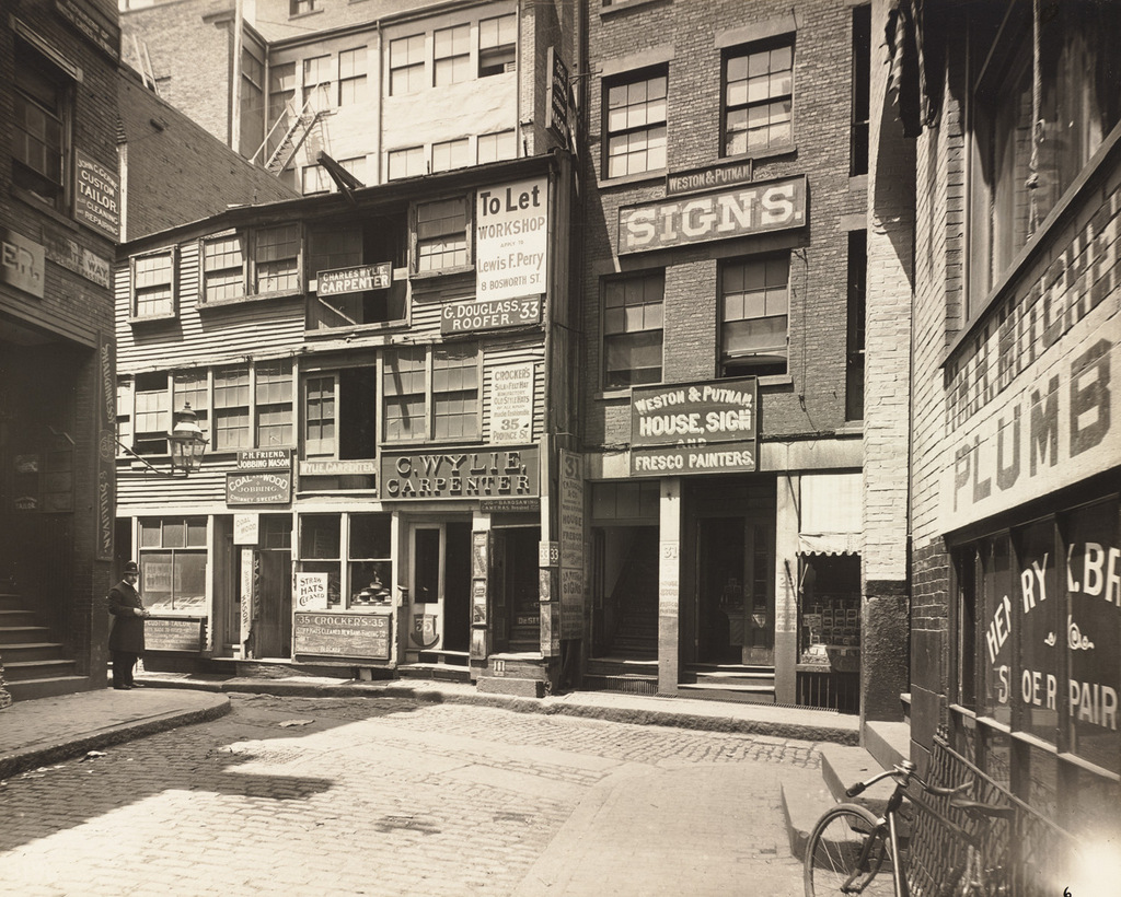
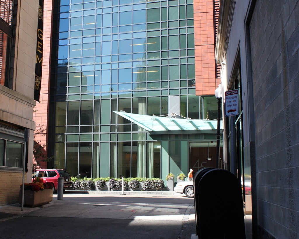
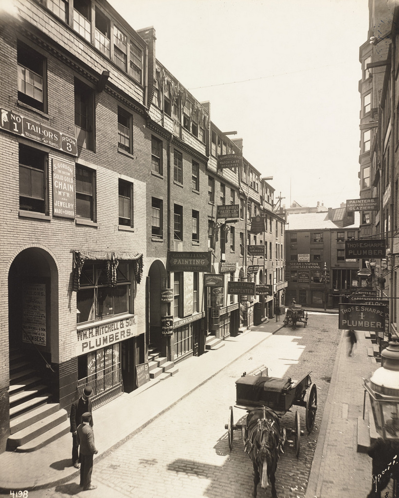
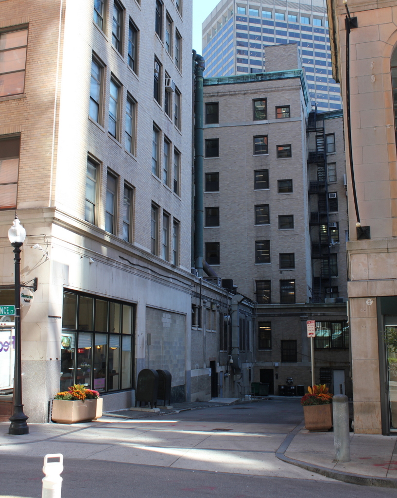
Author’s note: Although the main focus of this blog is New England and the northeast, I sometimes include photos from other parts of the country. This is the first in a series of then and now photos of California that I took this past winter.

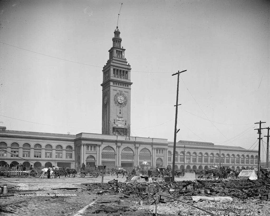
The San Francisco Ferry Building in the aftermath of the April 18, 1906 earthquake. Image courtesy of the Library of Congress, Detroit Publishing Company Collection.

867_1906c loc

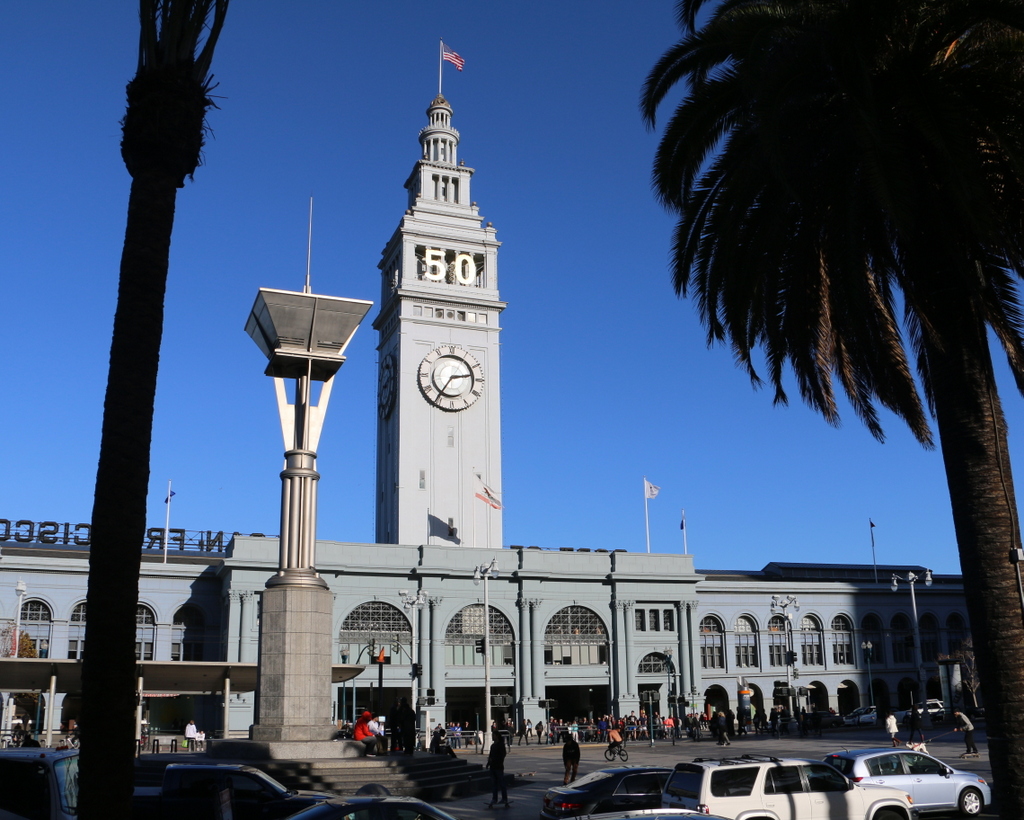
The Ferry Building in 2015:

867_2015
San Francisco is not an island, but for most transportation purposes it might as well be. Except for those traveling from the south, any approach to the city requires crossing either the San Francisco Bay on the eastern side of the city, or Golden Gate to the north. Prior to the construction of these bridges in the 1930s, the only way to do this was by ferry, and as a result this building was once among the busiest ferry terminals in the world.

The ferry terminal was built at the foot of Market Street along the present-day Embarcadero, and opened in 1898. Just a few years later, its durability was put to the test by the disastrous April 18, 1906 earthquake that, along with the resulting fires, destroyed much of the city. The first photo was probably taken only days after the earthquake, and it shows that, in contrast to the rubble and charred telephones in the foreground, the building survived with minimal damage. Interestingly, the first photo shows a makeshift barbershop on the far right side amidst the debris. The hand-written message on the side of the tent reads “Shaving 15¢” and, in smaller lettering, almost as an afterthought, is “Hair Cut 25¢.”

In the years following the earthquake, the terminal continued to be a vital part of the city’s transportation system until the completion of the Bay Bridge in 1936 and the Golden Gate Bridge the following year. Some ferries continued to operate out of here, but much of the interior was altered as passenger traffic declined. Another major change came in the 1950s, when the Embarcadero Freeway was built through here. Much like the Central Artery in Boston, this elevated highway cut off the city from the waterfront, and the ferry terminal was largely isolated.

The building survived another major earthquake in 1989, but the Embarcadero Freeway did not. It was heavily damaged in the earthquake, and was demolished in 1991 and replaced with light rail tracks that are visible in the distance of the second photo. At the same time, restoration work also began on the ferry terminal. Today, some ferries still depart from here, but the historic building is also used for office space and as a marketplace, and a year-round farmers’ market is held in front of the building three times a week.

View from the Arsenal Tower, Springfield, Mass (5)

Another view looking north from the top of the Arsenal at the Springfield Armory, around 1900-1910. Image courtesy of the Library of Congress, Detroit Publishing Company Collection.

841_1900-1910c loc

The view in 2015, photographed with permission from the Springfield Armory National Historic Site.

841_2015
This scene shows the view looking just a little further to the right than this earlier post, and it shows how both the Springfield Armory and the Liberty Heights neighborhood in the distance has changed over the past century. Aside from the Armory’s Long Storehouse in the foreground, the first photo shows sporadic development throughout the area, with the most noticeable buildings being the factories on the left side. The factories were located along Warwick Street, with the Cheney Bigelow Wire Works on the far left, and the Taber Prang Art Company closer to the center. Beyond them, scattered houses illustrate the early stages of development in the Liberty Heights area, with Mount Tom as a backdrop in the distance.

In the 2015 view, the most obvious change is the building in the foreground. The Springfield Armory closed in 1968, and the grounds became home to Springfield Technical Community College. Most of the former Armory buildings were converted into classroom and office space for the college, but there were also a few new buildings that were constructed for the school, including Scibelli Hall, as seen here. Not much is visible in the distance in the 2015 view, but most of the old factories on Warwick Street from the first photo are still standing. One prominent Liberty Heights landmark that was built after the first photo was taken is the Our Lady of Hope Church, which was built in 1925 and can be seen in the distance just to the left of Scibelli Hall.

For other then and now views from the Arsenal tower, see the earlier posts showing the view facing southwest, west, northwest, and south.

USS Maryland at Boston Navy Yard

The cruiser USS Maryland in Dry Dock 2 at the Boston Navy Yard, around 1905. Image courtesy of the Library of Congress, Detroit Publishing Company Collection.

834_1905c loc

The scene in 2015:

834_2015
The first photo shows Dry Dock 2 at the Boston Navy Yard, which was completed in 1905, not long before the first photo was taken. It was part of a large expansion of the facility, and it supplemented the much older and smaller Dry Dock 1. At 750 feet long, it could accommodate the Navy’s newest ships, including the Maryland, a Pennsylvania-class armored cruiser that, like the dry dock, was completed in 1905.

In the years after the photo was taken, the Maryland was eventually renamed the Frederick to free up the name for a new battleship, and the ship served in World War I. Like many other early 20th century American warships, though, the ship’s service history was brief. She was decommissioned in 1922, and sold for scrap in 1930.

As for the Boston Navy Yard, it remained in use throughout World War I, World War II, and beyond. It was finally closed in 1974, and part of it was taken over by the National Park Service as part of the Boston National Historical Park. Dry Dock 2 is just outside the park limits, but it is still intact, including the pump house, the small round building directly in the center of the 2015 photo. Just to the left of the pump house is Flagship Wharf, one of several modern condominium complexes that have been built on parts of the former navy yard.

For another scene of Dry Dock 2 in use, see the historic photo in this post, taken in 1929.

Province Court, Boston (2)

Facing Province Street from Province Court in Boston, in July 1901. Image courtesy of the Boston Public Library.

831_1901-07 bpl

The scene in 2015:

831_2015
These photos were taken facing the opposite direction from the ones in the previous post, and they give a glimpse into how Boston once looked along the old alleys and side streets of downtown Boston. Tucked away from the main commercial centers in the city, this area was home to less glamorous but nonetheless important businesses like plumbers, painters, roofers, carpenters, sign makers, chimney sweepers, tailors, and hat cleaners, as the signs here show.

None of these buildings are still standing today. The one on the right was demolished around 1922, when the present Province Building was built there. In the center, the wooden building along Province Street was demolished by 1908, and today most of the west side of the street is occupied by 45 Providence Street, a 30-story condominium building in the center of the 2015 photo.

Province Court, Boston (1)

Looking down Province Court from Province Street in Boston, in July 1901. Image courtesy of the Boston Public Library.

830_1901-07 bpl

Province Court in 2015:

830_2015
Province Court was once part of a maze of alleys in the block between Washington Street, School Street, Province Street, and Bromfield Street. Most of these are now gone, but Province Court is still here, functioning mainly as a service entrance for the surrounding buildings. When the first photo was taken, though, this area was much busier. In contrast to the busy shopping district on nearby Washington Street, Province Court was more of a blue collar area, with signs advertising a number of tradesmen, including plumbers, painters, carpenters, and tailors.

Both Province Court and Province Street were named for the Province House, a colonial mansion that was built here in 1679. For most of the 18th century, it served as the home of the colonial governors of Massachusetts, which is why early maps show Province Street as being named Governors Alley. The house burned in 1864 and was mostly demolished, although one of the walls was left standing and was incorporated into the buildings on the left side of the 1901 photo. Most of these buildings, including the remaining section of the Province House, were demolished in 1922 to build the Province Building,which is still standing today to the left and the center of the 2015 scene.

Old West Church, Boston

The Old West Church on Cambridge Street in Boston, probably in the late 1800s or early 1900s. Image courtesy of the Boston Public Library.

826_1800sc bpl

The church in 2015:

826_2015
Old West Church was established in 1737, as one of Boston’s many Congregational churches. This particular building was built in 1806, and was designed by prominent early American architect Asher Benjamin. It is architecturally very similar to one of Benjamin’s earlier Boston churches, the Charles Street Meeting House, which is still standing on the opposite side of Beacon Hill from here. The church closed in 1892, but the historic building was saved from demolition and put to a new use as a branch library for the Boston Public Library. It was one of the few buildings to survive the urban renewal project of the 1950s that destroyed most of the West End, and after the library closed in 1960 it was purchased by the United Methodist Church. The interior was restored to its original appearance and reopened in 1964, and today it remains in use as a Methodist church.