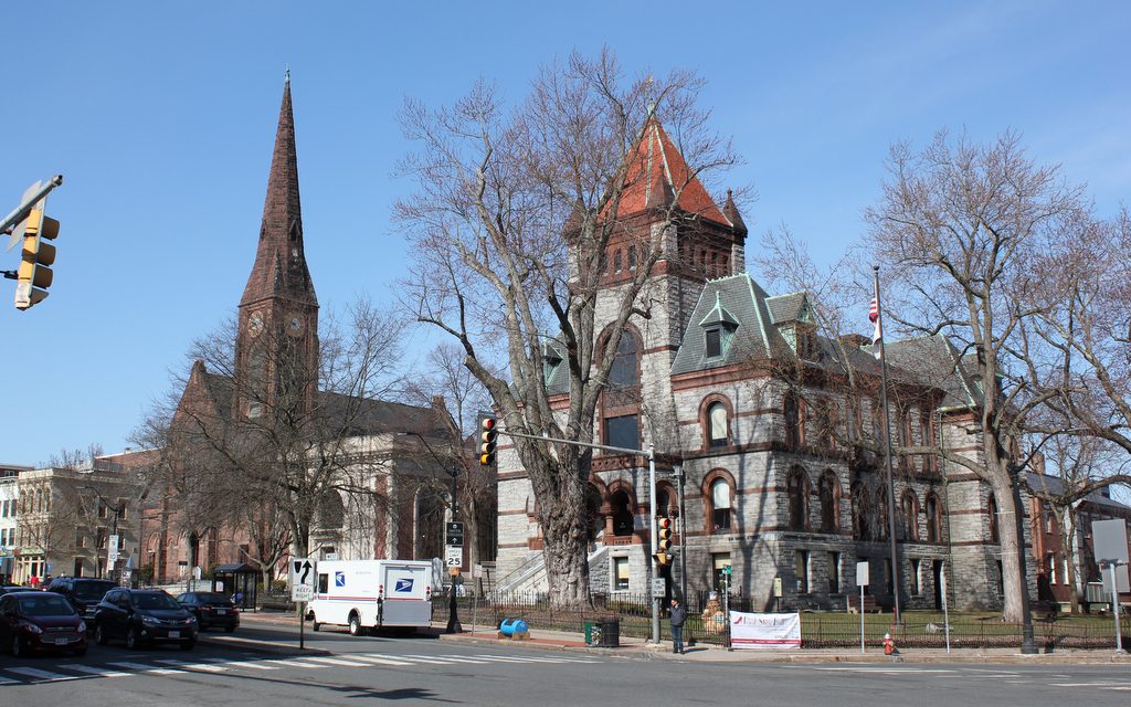
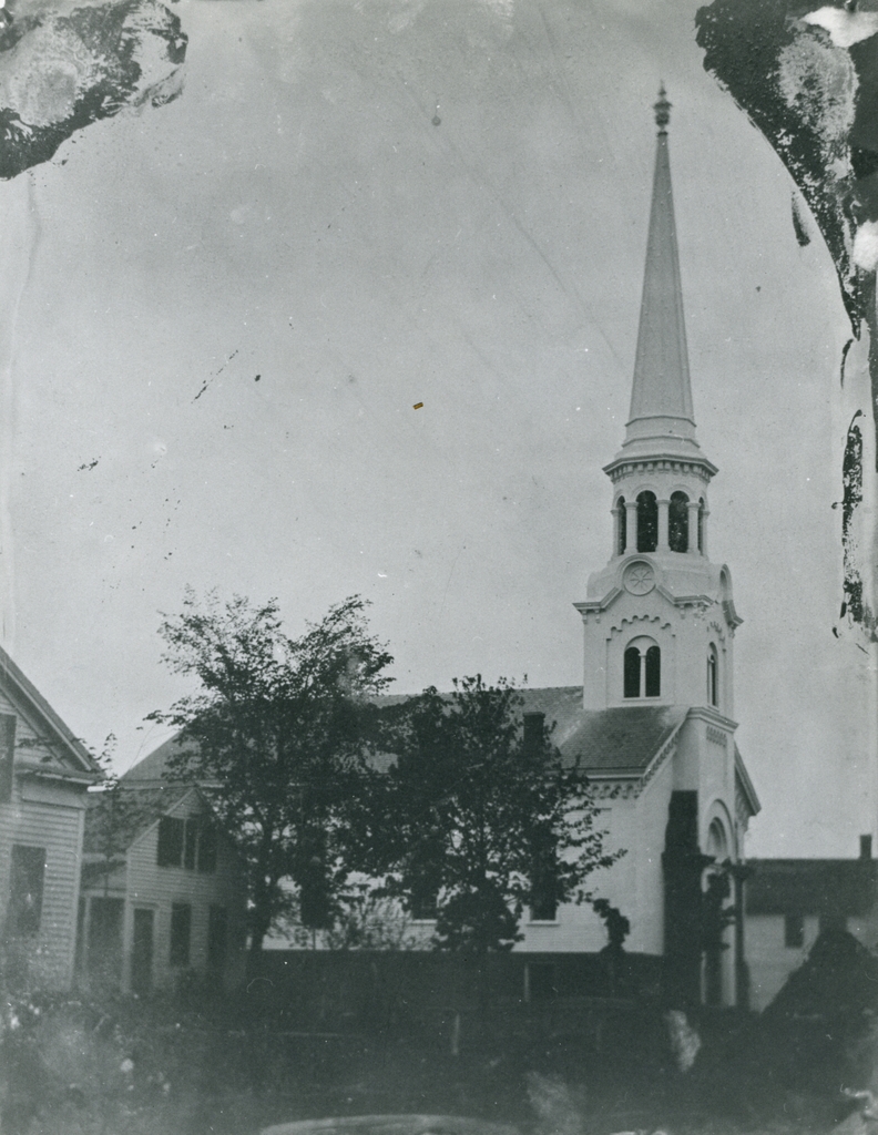
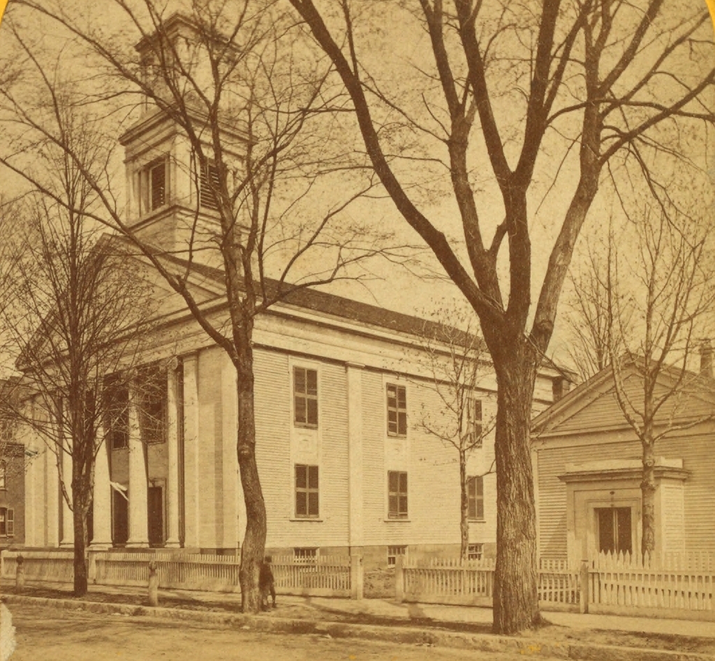
First Congregational Church, Wilbraham Mass (3)

The old meeting house for the First Congregational Church in Wilbraham, around the 1860s or 1870s. Image courtesy of the Wilbraham Public Library.

553_1857-1877 wpl

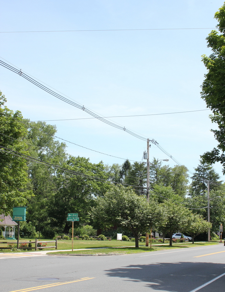
The site of the church in 2015:

553_2015 wpl
There aren’t too many photos of the church in the first scene, in part because of the building’s short lifespan.  It was built in 1857 to replace Wilbraham’s original First Congregational Church, which had been built in 1748 on Wigwam Hill, near the corner of present-day Tinkham Road and Bolles Road.  Given its rather inconvenient location, though, the building was brought down the hill and into the center of town in 1794.  It stood here until 1857, when it was moved again and converted into stables near the new church.  The new building would’ve been the home church for many of of Wilbraham’s 228 men who served in the Civil War, and the first photo was probably taken during or soon after the war.  However, both the old and the new churches were destroyed in a fire in 1877, and a new building was built on the site; this also burned down, after being struck by lightning in 1911.  Today, Gazebo Park is located on the spot where a total of four generations of Wilbraham churches once stood, from 1794 to 1958.

Old Church and Courthouse, Northampton, Mass

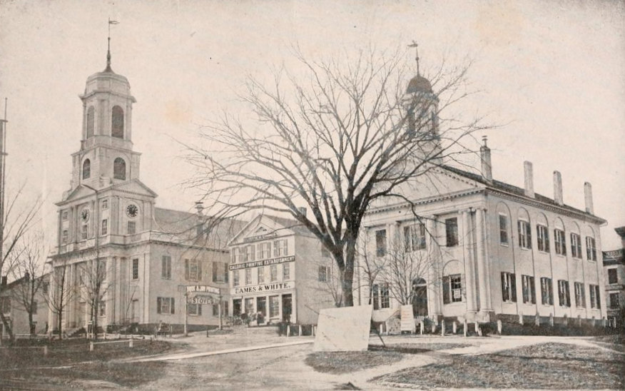
Looking up Main Street from Pleasant Street in Northampton, toward the old church and courthouse in 1864. Photo from Reminiscences of Old Northampton (1902).
508_1864 reminiscencesofoldnorthampton

The location in 2018:

The 1864 photo is one of the oldest existing photographs of downtown Northampton, and none of the buildings from that scene survive today, 151 years later.  To the left in the 1864 photo is the old church, which was built in 1812.  It was Northampton’s fourth meeting house, and it replaced the 1737 building that had been built during the pastorate of Jonathan Edwards.  It was from here that the influential pastor and theologian helped to spark the Great Awakening revival that spread across the American colonies and in Europe, but by the turn of the century the town was in need of a new building.  The 1812 church was designed by Northampton architect Isaac Damon, who just a few years later would design Old First Church in Springfield, 15 miles to the south.  However, while Old First Church survives to this day, the Northampton church seen in the 1864 photo burned in 1876, and was replaced two years later by the current brownstone church.

On the far right of the 1864 photo is the old Hampshire County Courthouse.  I don’t know when it was built, but it is virtually identical to the 1821 Hampden County Courthouse, seen on the far left of the 1882 photo in this post.  Because of its similar appearance, the Hampshire County Courthouse was probably built around the same time, shortly after some major changes to the county’s borders.  Originally, Hampshire County included all of Western Massachusetts, but it was steadily broken up into multiple counties, beginning in 1761 when Berkshire County was established to the west.  Then in 1811, Franklin County was created in the northern part of the Connecticut River Valley with Greenfield as the county seat, and a year later Hampden County split off to the south, with Springfield as the county seat.  I don’t know what happened to the old courthouse seen here, but it was gone by 1886, when the present-day Hampshire County Courthouse opened on roughly the same spot at the corner of Main and King Streets.

In between the two prominent buildings in the 1864 scene is a relatively small commercial block, the Whitney Building.  The photograph was actually commissioned by George D. Eames, the owner of the building, and was probably intended to advertise the building’s prominent location in town.  Part of the building housed the offices of the Hampshire Gazette, and the newspaper was published in the basement.  This is evidently the reason for the large sign on the building that reads “Caloric Printing Establishment.”  The Whitney Building was demolished in 1876, and a bank building was put in its place.  Today, the 1916 Northampton Institute for Savings building occupies the site where the Whitney Building once stood.
South Church, Springfield Mass

The old South Church building on Bliss Street in Springfield, probably around 1865-1875. Photo courtesy of the New York Public Library.

478_1865-1885c nypl

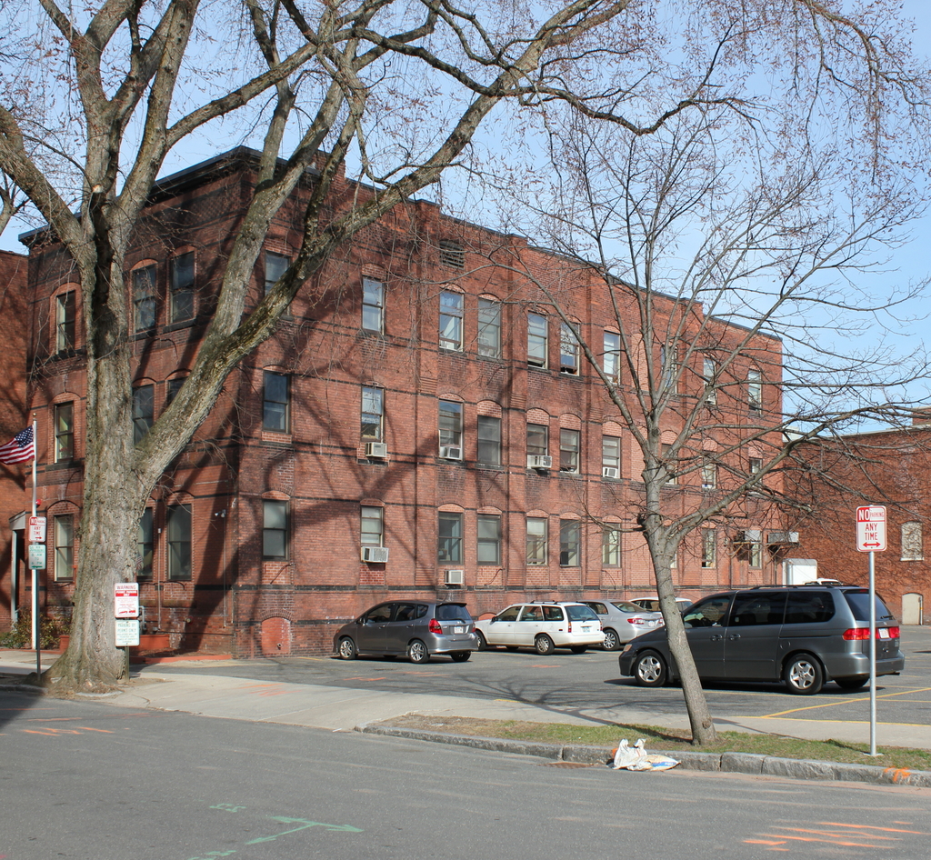
The location in 2015:

478_2015

For many years, the First Church in Springfield was the only church in town; it wasn’t until the first half of the 19th century that other churches started to form.  Many of these were offshoots from the first church, some of whom left because of doctrinal differences, such as the Unitarian Church.  However, others left the church on better terms, in order to form new congregations to meet the needs of the growing town (and soon to be city).  The South Church was one of these.  They were formed in 1842, and originally met in the parish house of the First Church before building their own church a few blocks away on Bliss Street.

The first pastor was Noah Porter, who served from 1843 to 1846, when he accepted a position as a professor at his alma mater, Yale College.  He later went on to serve as president of Yale from 1871 to 1886.  Following Porter’s departure, Dr. Samuel G. Buckingham became the pastor, and served for 40 years.  Buckingham was also an author, and he wrote a biography of his brother William Alfred Buckingham, who was Governor of Connecticut from 1858 to 1866 and a US Senator from 1869 to 1875.

During Buckingham’s tenure as pastor, the church outgrew the building on Bliss Street, and in 1875 they moved to a new location on Maple Street.  South Congregational Church is still there, and still meets in the 1875 building.  Meanwhile, on Bliss Street, the old church was demolished by 1884, which was the year that the Women’s Christian Association built a boarding house on the site.  That building is still there as of 2015, serving as the home of the Springfield Rescue Mission, although it is scheduled to be demolished later in the year to make way for the MGM Springfield casino.

Tremont Street, Boston

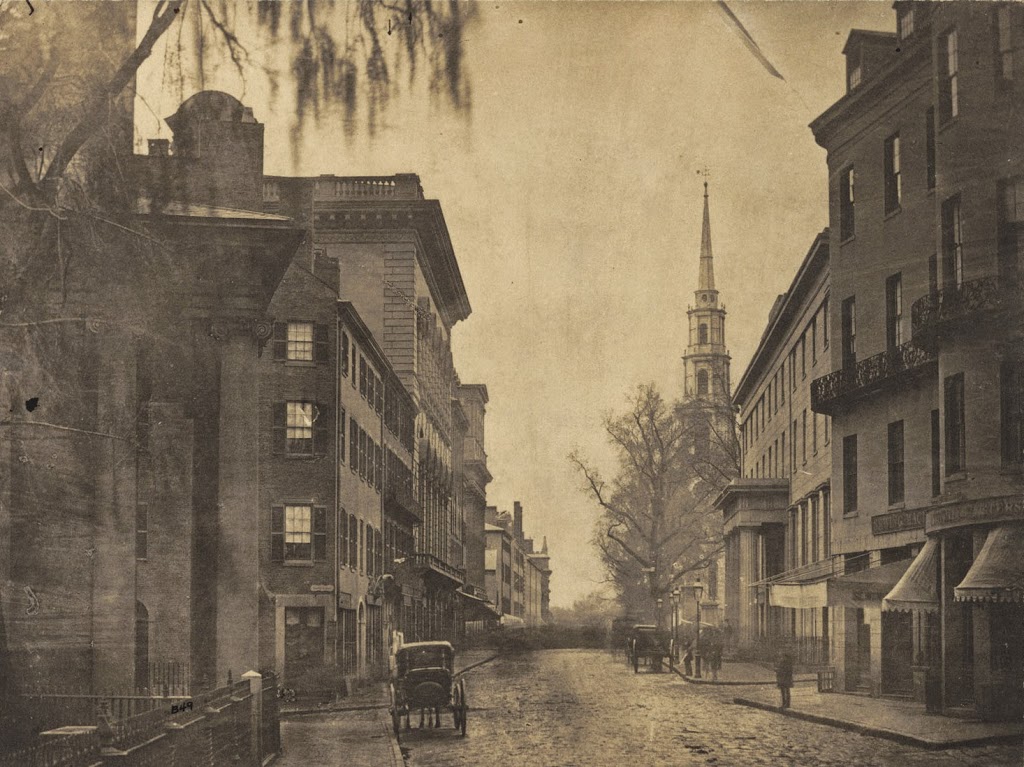
The view looking down Tremont Street from School Street, around 1860. Photo courtesy of Boston Public Library.

330_1860-2Bbpl

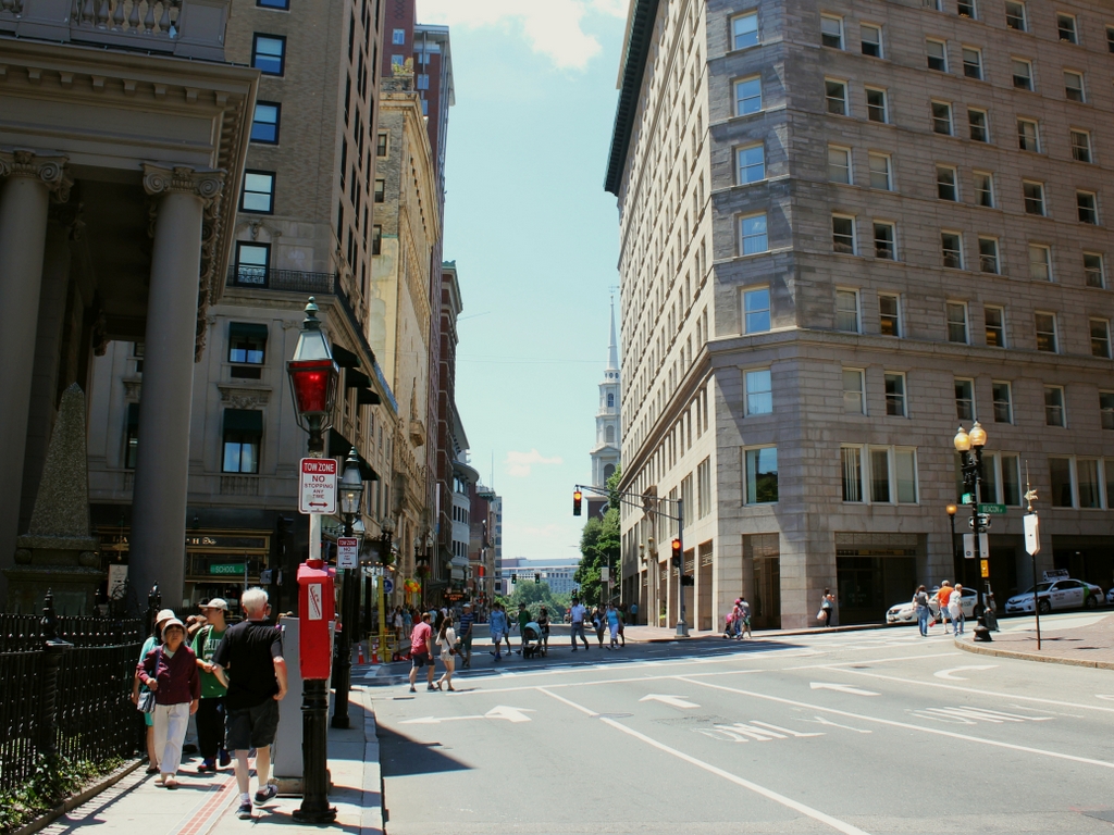
The same scene in 2014:

A lot has changed on this section of Tremont Street in the past century and a half, but a few constants remain. The front pillars of King’s Chapel are on the left-hand side, and the steeple of Park Street Church can be seen in the distance on the right. Another landmark in the first photo is the Tremont House, which can be seen from the opposite angle in this post. At the time of the 1860 photo, this was one of the best hotels in the city, and as mentioned in the post on the hotel, it had a number of prominent visitors throughout the 1800s.

Tremont Street has always been a major road in the city, but the first photo shows a very different scene. On the eve of the Civil War, it was a narrow dirt road with a few horse-drawn carriages. Within a few years, though, things would start to change, and by the end of the century this scene would be clogged with streetcars, which prompted the construction of the Tremont Street Subway, the first subway in the country. Today, this part of Tremont is located along the Freedom Trail, with a significant number of tourists walking along the sidewalk on a warm summer Saturday in the 2014 photo.


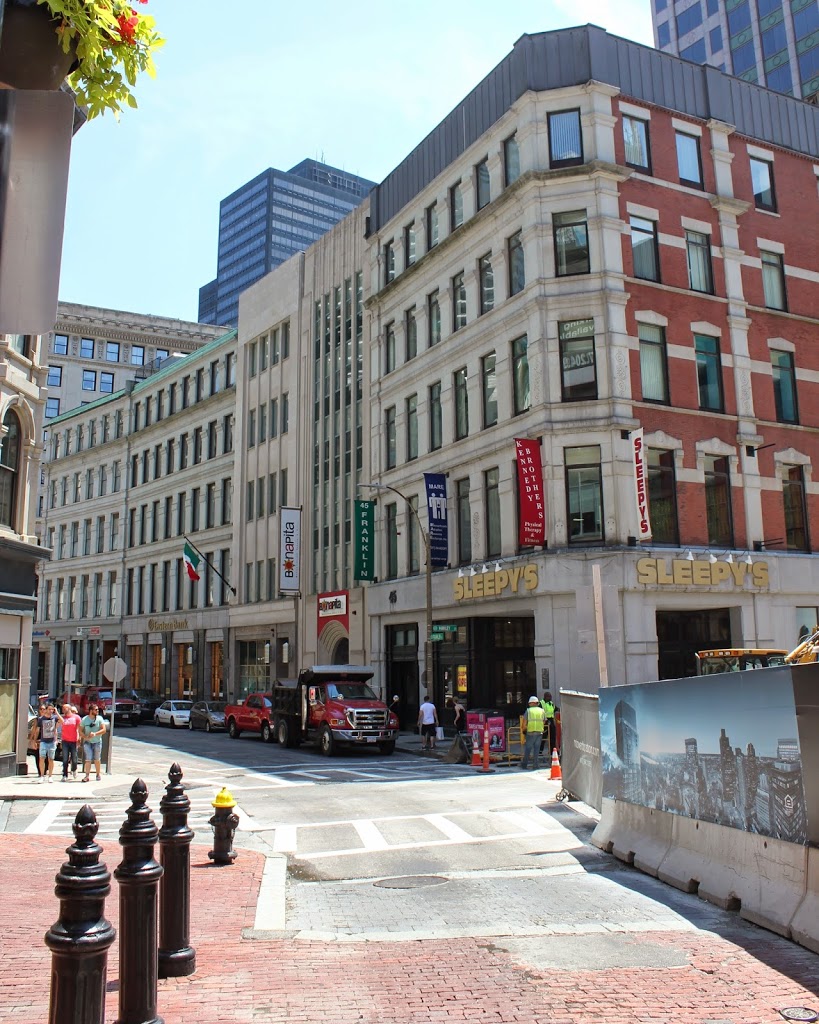
Franklin Street, Boston (1)

Looking down Franklin Street toward Arch Street from Hawley Street in Boston in 1858. Photo courtesy of Boston Public Library.

326_1858-2Bbpl

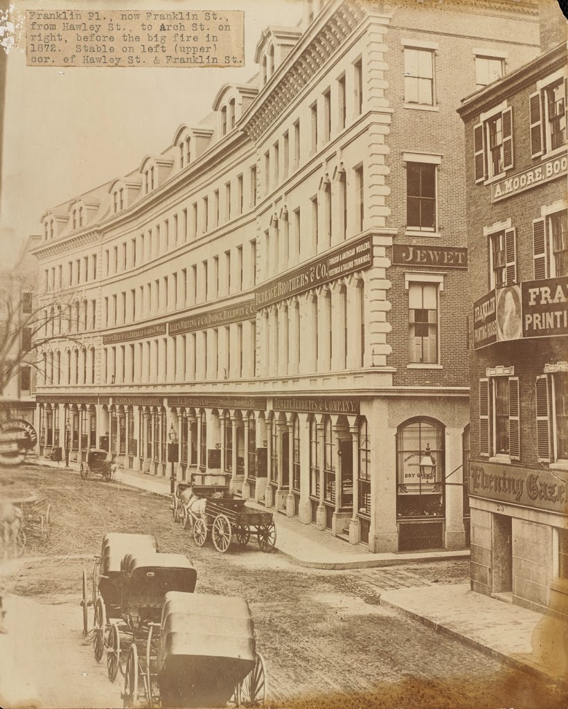
The same view down Franklin Street, between 1859 and 1872. Photo courtesy of Boston Public Library.

326_1850-1872c-2Bbpl

Franklin Street in 2014:

326_2014

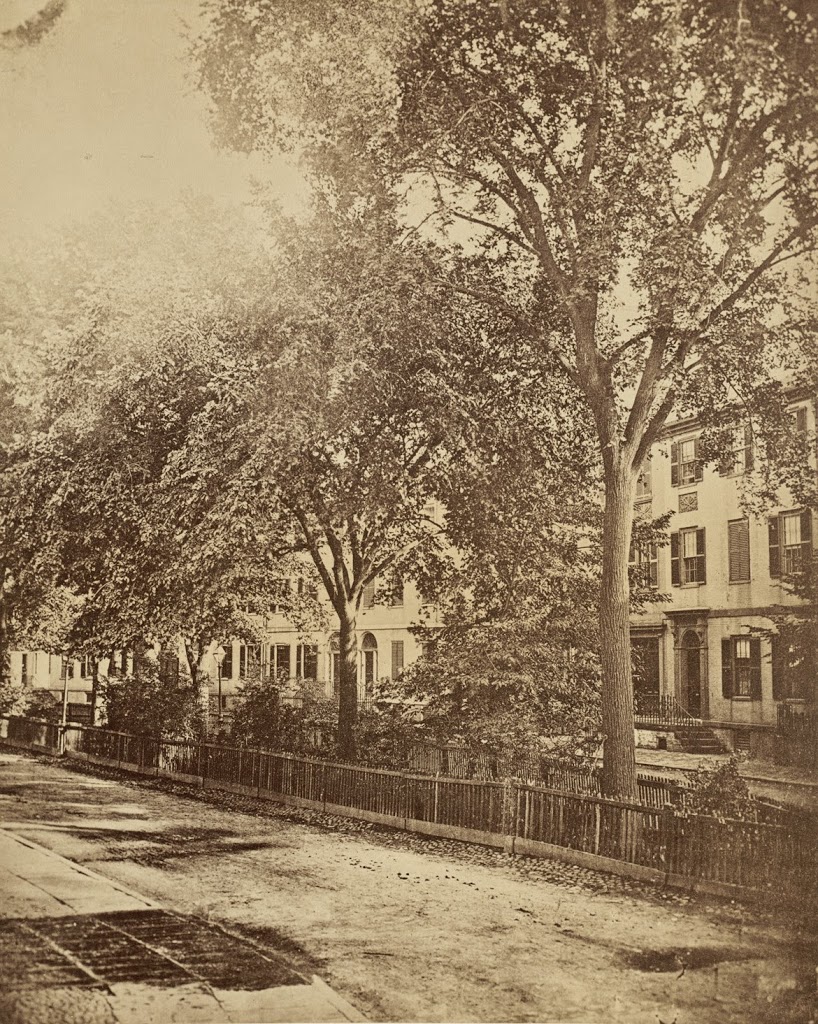
Franklin Street in Boston was originally laid out in the 1790s by noted architect Charles Bulfinch, and included row-houses on both sides of a sweeping curve, as seen in the first photo. Known as the Tontine Crescent, this was an upscale neighborhood in the first half of the 19th century, but by the 1850s the city was expanding commercially. The row-houses were demolished, and replaced with the commercial buildings in the second photo. These didn’t last too long, though – they were destroyed in the Great Boston Fire of 1872. Today, it is still a major commercial center, part of the Downtown Crossing shopping district, but many of the buildings that are still standing along Franklin Street were the ones constructed in 1873 in the immediate aftermath of the fire. In addition, the street still retains its distinctive curve that was laid out over 200 years ago.

Dock Square toward Union Street, Boston

Dock Square looking toward Union Street in Boston, in 1865. Photo courtesy of Boston Public Library.

316_1865-2Bbpl

The scene in 2014:

316_2014

These photos were taken from almost the same spot as the ones in this photo, just slight ahead and to the right.  The first one shows the variety of businesses that were located in Civil War-era downtown Boston, ranging from feathers and furniture to hardware and whips.  The tracks in the foreground are for a horse-drawn trolley line; this was an early version of Boston’s present-day subway network, before the trolleys were electrified and put underground.